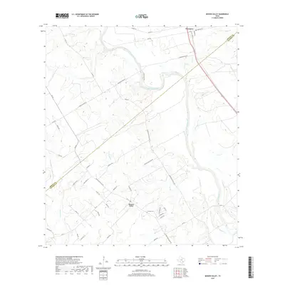
2019 Map of Mission Valley
USGS Topo · Published 2019About this map
Guadalupe River meanders through the heart of this coastal plains landscape, marking the historical and environmental boundary between DeWitt and Victoria counties. This 2019 survey documents the rural character of the region, where the settlement of Mission Valley serves as a local hub near the Guadalupe Cem. The terrain is defined by a dense network of tributaries including Twelvemile Cr, Rocky Cr, and Carlisle Cr that feed into the main river channel.
Find a feature on this map
48 named features on this map. Tap any name to fly to it.
Don’t see what you’re looking for? This feature index may not catch every label — zoom into the map to look around manually.
Map Details
Editions of this 2019 Mission Valley Map
This is the sole edition of this map. No revisions or reprints were ever made.
Other maps of this area

1953 · Beeville
USGS Topo · 1:250,000

1953 · Seguin
USGS Topo · 1:250,000

1956 · Beeville
USGS Topo · 1:250,000

1958 · Seguin
USGS Topo · 1:250,000

1960 · Beeville
USGS Topo · 1:250,000

1960 · Cuero
USGS Topo · 1:24,000

1962 · Verhelle
USGS Topo · 1:24,000

1963 · Fordtran
USGS Topo · 1:24,000

1963 · Meyersville
USGS Topo · 1:24,000

1963 · Nursery
USGS Topo · 1:24,000