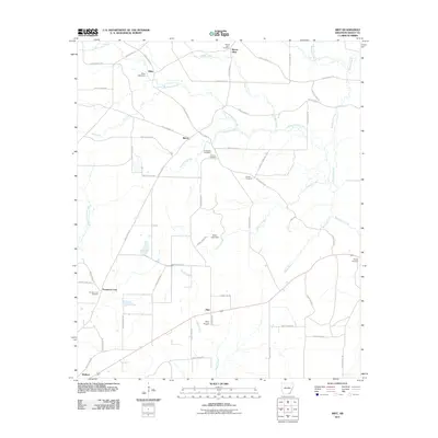
2011 Map of Mist
USGS Topo · Published 2011About this map
Mist and Pine Prairie anchor this corner of Ashley County, where the landscape is defined by a dense network of country roads and low-lying watercourses. The territory is marked by small settlements like Riley and Berea, which serve as quiet hubs for the surrounding timberland and agricultural fields. Genealogists will find significant value in the distribution of family and community burial grounds across the sheet, including the Mount Olive Cemetery, Central Cemetery, and Promise Land Cemetery near the community of Promised Land. The drainage patterns of Little Bearhouse Creek, Jordan Creek, and Jackson Creek dominate the hydrography, with local water management evident at structures such as Stone Lake Dam and Riley Lake Dam. This map provides a detailed look at the rural infrastructure of southeast Arkansas, tracing the transition from early cross-road settlements to the established township grids of the 21st century.
Find a feature on this map
63 named features on this map. Tap any name to fly to it.
Don’t see what you’re looking for? This feature index may not catch every label — zoom into the map to look around manually.
Map Details
Editions of this 2011 Mist Map
This is the sole edition of this map. No revisions or reprints were ever made.
Other maps of this area

1935 · Mist
USGS Topo · 1:62,500

1935 · Wilmot
USGS Topo · 1:62,500

1952 · Fountain Hill
USGS Topo · 1:24,000

1953 · Greenwood
USGS Topo · 1:250,000

1956 · Greenwood
USGS Topo · 1:250,000

1960 · Snyder
USGS Topo · 1:24,000

1960 · Mist
USGS Topo · 1:62,500

1960 · Wilmot
USGS Topo · 1:62,500
1960 · Portland
USGS Topo · 1:24,000

1960 · Wilmot NW
USGS Topo · 1:24,000