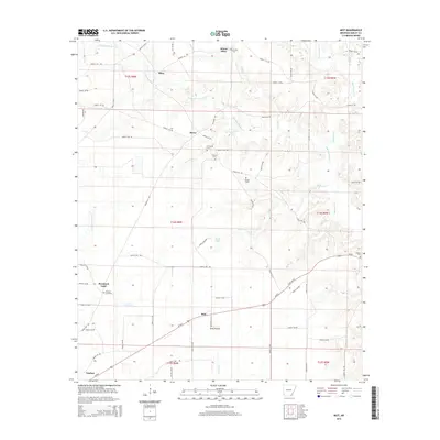
2014 Map of Mist
USGS Topo · Published 2014About this map
Mist and the surrounding timberlands of Ashley County appear here as a network of rural settlements and family cemeteries defined by the drainage of Bearhouse Cr and its tributaries. The landscape is characterized by a high density of small communities like Berea, Mount Olive, and Promised Land, each anchored by historical burial grounds such as Griswould Cem and Mt Olive Cem. The road system, largely composed of numbered county routes like Ashley 120 Rd and Ashley 61 Rd, follows the subtle rises between watercourses like Griswould Cr and Jackson Cr. This survey captures the enduring rural layout of the region, where naming conventions like Pine Prairie and Stone Lake reflect the local topography and the agricultural and forestry-driven economy that has shaped this part of Arkansas for generations.
Find a feature on this map
74 named features on this map. Tap any name to fly to it.
Don’t see what you’re looking for? This feature index may not catch every label — zoom into the map to look around manually.
Map Details
Editions of this 2014 Mist Map
This is the sole edition of this map. No revisions or reprints were ever made.
Other maps of this area

1935 · Mist
USGS Topo · 1:62,500

1935 · Wilmot
USGS Topo · 1:62,500

1952 · Fountain Hill
USGS Topo · 1:24,000

1953 · Greenwood
USGS Topo · 1:250,000

1956 · Greenwood
USGS Topo · 1:250,000

1960 · Snyder
USGS Topo · 1:24,000

1960 · Mist
USGS Topo · 1:62,500

1960 · Wilmot
USGS Topo · 1:62,500
1960 · Portland
USGS Topo · 1:24,000

1960 · Wilmot NW
USGS Topo · 1:24,000