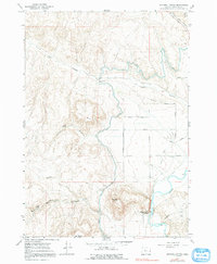
1967 Map of Mitchell Butte
USGS Topo · Published 1991About this map
Mitchell Butte Hot Spring sits near the base of its namesake peak, marking a thermal landmark in this desert landscape of Malheur County. The map details an intricate irrigation network essential to the high desert economy, including the North Canal, the Owyhee Butte Lateral, and a system of engineering features like the Cow Hollow Siphon and an aqueduct. These water management tools contrast with the natural ruggedness of Chalk Butte and Deer Butte. Along the eastern edge, a grid of named thoroughfares such as Lytle Blvd, Grand Ave, and Janeta Ave suggests planned expansion or rural development near the Owyhee River. This document records the area as it was surveyed in the mid-1960s, documenting a time when aviation infrastructure like the Landing Strip supported local operations alongside established natural sources like Chalk Spring and Rock Spring.
Find a feature on this map
28 named features on this map. Tap any name to fly to it.
Don’t see what you’re looking for? This feature index may not catch every label — zoom into the map to look around manually.
Map Details
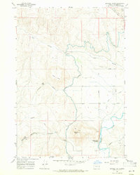
Editions of this 1967 Mitchell Butte Map
2 editions found
Other maps of this area

1906 · Mitchell Butte
USGS Topo · 1:125,000

1955 · Boise
USGS Topo · 1:250,000

1958 · Boise
USGS Topo · 1:250,000

1962 · Boise
USGS Topo · 1:250,000
1967 · Vale East
USGS Topo · 1:24,000
1967 · Cairo
USGS Topo · 1:24,000
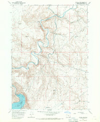
1967 · Owyhee Dam
USGS Topo · 1:24,000
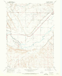
1967 · Vale West
USGS Topo · 1:24,000
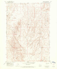
1967 · Double Mtn
USGS Topo · 1:24,000
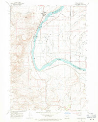
1967 · Adrian
USGS Topo · 1:24,000