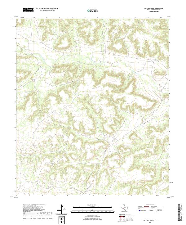
2022 Map of Mitchell Draw
USGS Topo · Published 2022About this map
Independence Cr flows through the northern reaches of this Trans-Pecos landscape, marking one of the few perennial water features in a region defined by complex drainage patterns. The terrain is characterized by deeply incised canyons and dry washes, most notably Seventeen Draw and the namesake Mitchell Draw, which dominate the central and southern topography. These draws represent the primary conduits for seasonal runoff in the high desert of Terrell County, shaping the intricate contour lines that define the local relief.
Find a feature on this map
5 named features on this map. Tap any name to fly to it.
Don’t see what you’re looking for? This feature index may not catch every label — zoom into the map to look around manually.
Map Details
Editions of this 2022 Mitchell Draw Map
This is the sole edition of this map. No revisions or reprints were ever made.
Other maps of this area

1928 · Sanderson
USGS Topo · 1:125,000

1929 · Sheffield
USGS Topo · 1:125,000

1929 · Independence Draw Quadrangle
USGS Topo · 1:125,000

1954 · Fort Stockton
USGS Topo · 1:250,000

1954 · Sonora
USGS Topo · 1:250,000

1958 · Sonora
USGS Topo · 1:250,000

1958 · Fort Stockton
USGS Topo · 1:250,000

1967 · Sheffield NW
USGS Topo · 1:24,000

1967 · Horsehead Canyon
USGS Topo · 1:24,000

1969 · Circle Dot Ranch
USGS Topo · 1:24,000