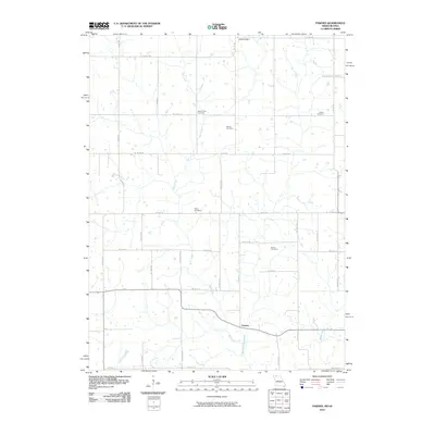
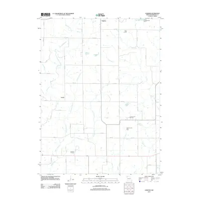
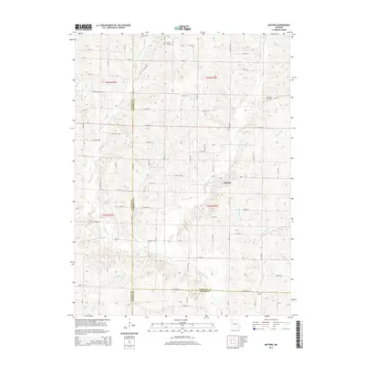
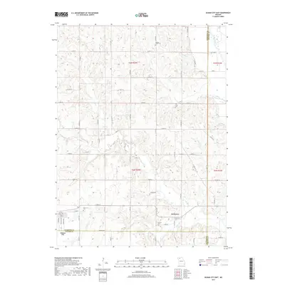
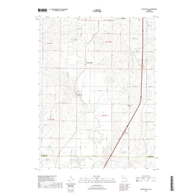
1984 Map of Mitchellville
USGS Topo · Published 1985About this map
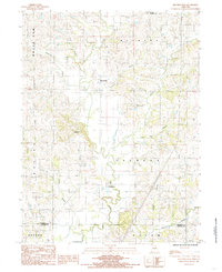
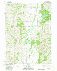
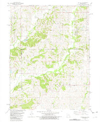
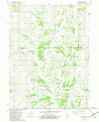
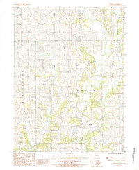
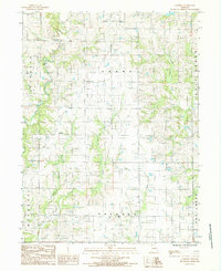
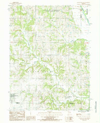
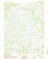
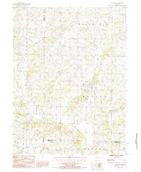
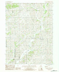
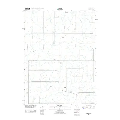
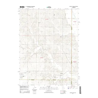
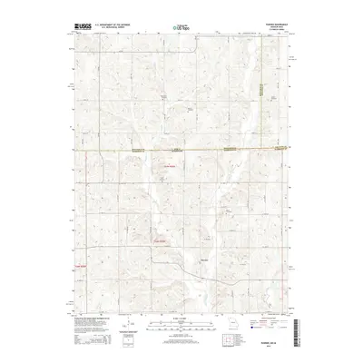
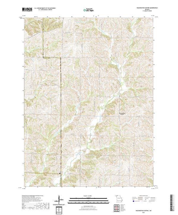
Big Creek and its many tributaries, including Crabapple Branch and Flint Branch, define the topography of this rural section of Missouri near the border of Harrison and Daviess Counties. The map documents small clusters of activity at Mitchellville, Wildwood, and Bridgeport, providing a detailed look at the rural road network and property distribution in the early 1980s. A local Cemetery and the Miracle Hills Ranch stand as distinct landmarks amidst the agricultural landscape. The drainage patterns of the region are exceptionally clear, with secondary waterways like Polecat Branch, Tom Branch, and Nobel Branch feeding into the larger Cypress Creek system. This provisional survey captures the transition of the landscape from the upland areas of White Oak and Bethany down through the creek valleys.
Find a feature on this map
20 named features on this map. Tap any name to fly to it.
Don’t see what you’re looking for? This feature index may not catch every label — zoom into the map to look around manually.
Map Details
Editions of this 1984 Mitchellville Map
This is the sole edition of this map. No revisions or reprints were ever made.
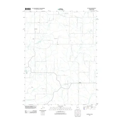
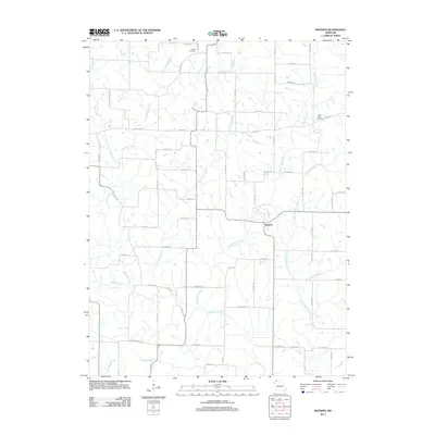
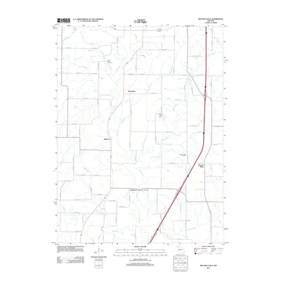
Historical Maps of Bethany Through Time
53 maps found
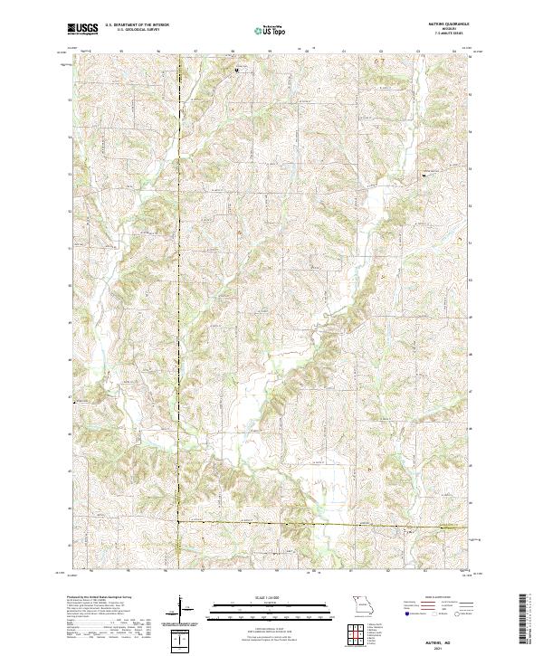
1981 Akron
Harrison County, MO
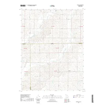
1981 Hatfield
Harrison County, MO
1981 Pawnee
Harrison County, MO
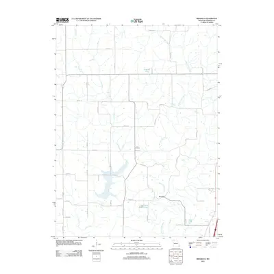
1984 Brooklyn
Harrison County, MO
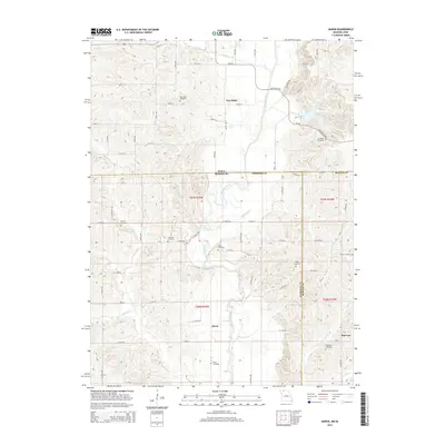
1984 Gardner
Harrison County, MO
1984 Gilman City East
Harrison County, MO
1984 Gilman City West
Harrison County, MO
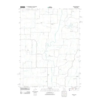
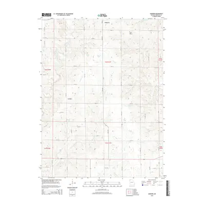
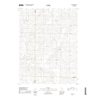
1984 Matkins
Harrison County, MO
1984 Mitchellville
Harrison County, MO
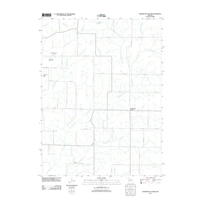
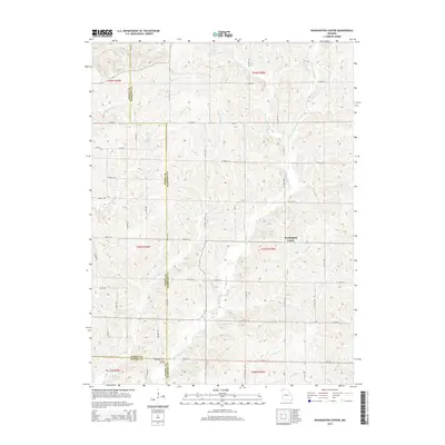
1984 Washington Center
Harrison County, MO
2010 Akron
Harrison County, MO
2010 Hatfield
Harrison County, MO
2010 Pawnee
Harrison County, MO
2011 Hatfield
Harrison County, MO
2011 Matkins
Harrison County, MO
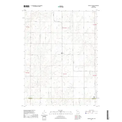
2011 Mitchellville
Harrison County, MO
2011 Pawnee
Harrison County, MO
2011 Washington Center
Harrison County, MO
2012 Akron
Harrison County, MO
2012 Brooklyn
Harrison County, MO
2012 Gardner
Harrison County, MO
2012 Gilman City East
Harrison County, MO
2012 Gilman City West
Harrison County, MO
2014 Brooklyn
Harrison County, MO
2014 Gilman City East
Harrison County, MO
2014 Gilman City West
Harrison County, MO
2014 Hatfield
Harrison County, MO
2014 Mitchellville
Harrison County, MO
2014 Pawnee
Harrison County, MO
2014 Washington Center
Harrison County, MO
2015 Akron
Harrison County, MO
2015 Gardner
Harrison County, MO
2015 Matkins
Harrison County, MO
2017 Akron
Harrison County, MO
2017 Brooklyn
Harrison County, MO
2017 Gardner
Harrison County, MO
2017 Gilman City East
Harrison County, MO
2017 Gilman City West
Harrison County, MO
2017 Hatfield
Harrison County, MO
2017 Matkins
Harrison County, MO
2017 Mitchellville
Harrison County, MO
2017 Pawnee
Harrison County, MO
2017 Washington Center
Harrison County, MO
2021 Akron
Harrison County, MO
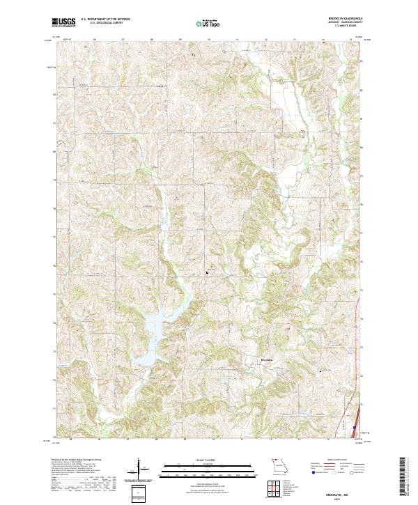
2021 Brooklyn
Harrison County, MO
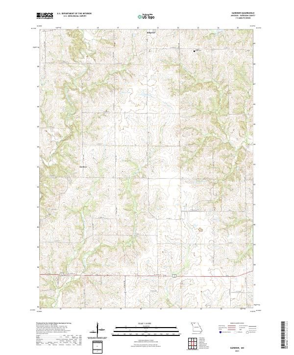
2021 Gardner
Harrison County, MO
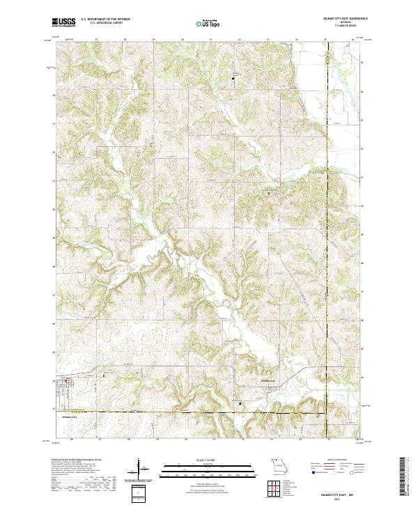
2021 Gilman City East
Harrison County, MO
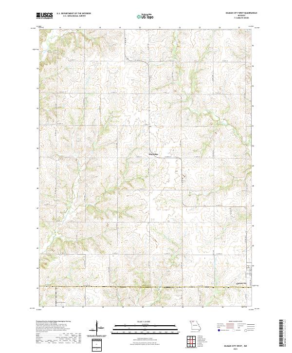
2021 Gilman City West
Harrison County, MO
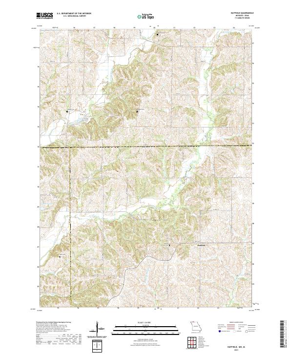
2021 Hatfield
Harrison County, MO
2021 Matkins
Harrison County, MO
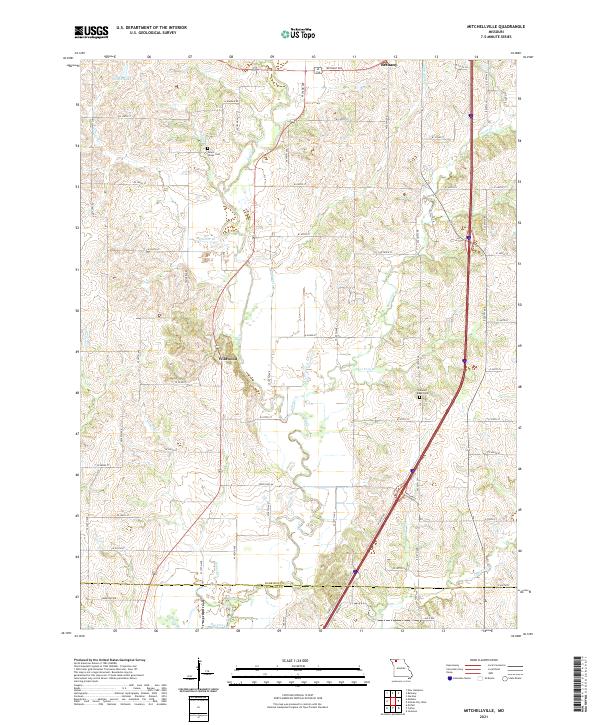
2021 Mitchellville
Harrison County, MO
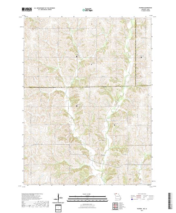
2021 Pawnee
Harrison County, MO
2021 Washington Center
Harrison County, MO