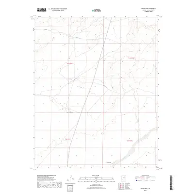
2018 Map of Mitten Peak
USGS Topo · Published 2018About this map
Mitten Peak stands as a prominent landmark in this desert landscape within the Navajo Nation. The terrain is defined by the ephemeral flow of Leroux Wash in the southeast and the presence of Salt Seeps near the northern boundary. Modern infrastructure is represented by a network of rural roads including Indian Rte 9860, Indian Rte 9068, and Salt Sap Rd, which provide access across the high desert floor.
Find a feature on this map
11 named features on this map. Tap any name to fly to it.
Don’t see what you’re looking for? This feature index may not catch every label — zoom into the map to look around manually.
Map Details
Editions of this 2018 Mitten Peak Map
This is the sole edition of this map. No revisions or reprints were ever made.
Other maps of this area

1883 · Tusayan
USGS Topo · 1:250,000

1886 · Tusayan
USGS Topo · 1:250,000

1886 · Fort Defiance
USGS Topo · 1:250,000

1892 · Fort Defiance
USGS Topo · 1:250,000

1947 · Flagstaff
USGS Topo · 1:250,000

1954 · Flagstaff
USGS Topo · 1:250,000

1954 · Gallup
USGS Topo · 1:250,000

1958 · Gallup
USGS Topo · 1:250,000

1958 · Flagstaff
USGS Topo · 1:250,000

1959 · Gallup
USGS Topo · 1:250,000