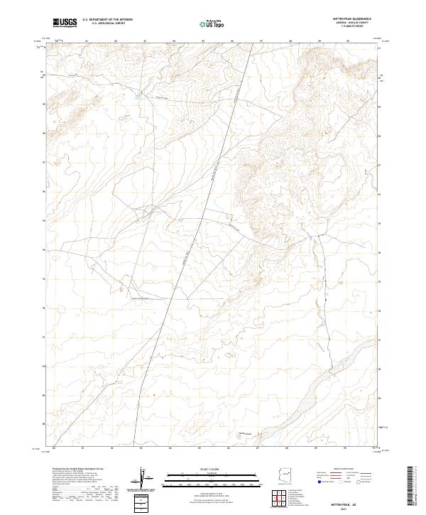
2021 Map of Mitten Peak
USGS Topo · Published 2021About this map
Mitten Peak stands as a prominent landmark in this desert landscape of Navajo County, rising above the surrounding terrain within the boundaries of the Navajo Res Boundary. The drainage patterns of the high desert are clearly defined here, centered on the broad course of Leroux Wash which cuts through the southern portion of the quadrangle. Local routes such as Navajo Svc Rte 6 and Indian Rte 9860 provide the primary infrastructure through this open country, illustrating the modern transportation network within the reservation. The presence of Salt Seeps near Salt Sap Rd in the north suggests natural mineral springs that have long influenced movement and land use in this arid region, providing a specific point of interest for those studying the physical geography of the Colorado Plateau.
Find a feature on this map
12 named features on this map. Tap any name to fly to it.
Don’t see what you’re looking for? This feature index may not catch every label — zoom into the map to look around manually.
Map Details
Editions of this 2021 Mitten Peak Map
This is the sole edition of this map. No revisions or reprints were ever made.
Other maps of this area

1883 · Tusayan
USGS Topo · 1:250,000

1886 · Tusayan
USGS Topo · 1:250,000

1886 · Fort Defiance
USGS Topo · 1:250,000

1892 · Fort Defiance
USGS Topo · 1:250,000

1947 · Flagstaff
USGS Topo · 1:250,000

1954 · Flagstaff
USGS Topo · 1:250,000

1954 · Gallup
USGS Topo · 1:250,000

1958 · Gallup
USGS Topo · 1:250,000

1958 · Flagstaff
USGS Topo · 1:250,000

1959 · Gallup
USGS Topo · 1:250,000