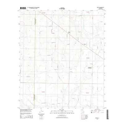
2015 Map of Mittie
USGS Topo · Published 2015About this map
Whisky Chitto Creek meanders through this landscape, defining the character of the border between Beauregard Parish and Allen Parish. Small settlements and family clusters are connected by a network of rural roads such as Cherry Grove Rd and Simmons Rd. The map documents the presence of Simmons Settlement and its namesake Simmons Cem, providing a precise look at the local geography in the early 21st century.
Find a feature on this map
60 named features on this map. Tap any name to fly to it.
Don’t see what you’re looking for? This feature index may not catch every label — zoom into the map to look around manually.
Map Details
Editions of this 2015 Mittie Map
This is the sole edition of this map. No revisions or reprints were ever made.
Other maps of this area
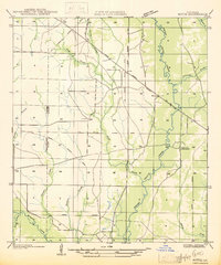
1935 · Mittie
USGS Topo · 1:31,680
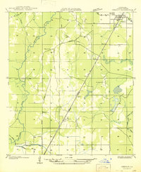
1947 · Oberlin
USGS Topo · 1:31,680
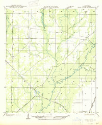
1947 · Pine Chapel
USGS Topo · 1:31,680
1947 · Le Blanc
USGS Topo · 1:31,680
1947 · Reeves
USGS Topo · 1:31,680
1947 · Elizabeth
USGS Topo · 1:31,680
1947 · Grant
USGS Topo · 1:31,680
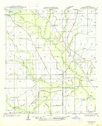
1947 · Bundick
USGS Topo · 1:31,680
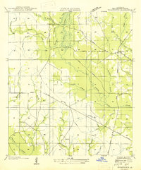
1947 · Sugartown
USGS Topo · 1:31,680
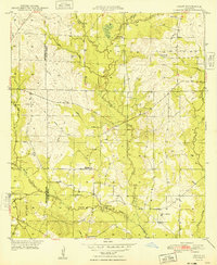
1948 · Grant
USGS Topo · 1:24,000