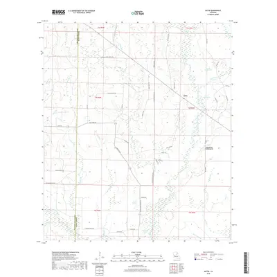
2018 Map of Mittie
USGS Topo · Published 2018About this map
Simmons Settlement and Mittie serve as the primary hubs of this landscape along the eastern edge of Allen Parish. The terrain is defined by a dense network of waterways, most notably the winding course of Whisky Chitto Creek, which is joined by numerous tributaries including Reeves Cr, Bundick Creek, and Tenmile Creek. The agricultural and timber character of the region is evident in the many family-named roads and landmarks, such as Jerry Wright Lake and Isaiah Wright Lake.
Find a feature on this map
56 named features on this map. Tap any name to fly to it.
Don’t see what you’re looking for? This feature index may not catch every label — zoom into the map to look around manually.
Map Details
Editions of this 2018 Mittie Map
This is the sole edition of this map. No revisions or reprints were ever made.
Other maps of this area

1935 · Mittie
USGS Topo · 1:31,680

1947 · Oberlin
USGS Topo · 1:31,680

1947 · Pine Chapel
USGS Topo · 1:31,680

1947 · Le Blanc
USGS Topo · 1:31,680

1947 · Reeves
USGS Topo · 1:31,680

1947 · Elizabeth
USGS Topo · 1:31,680

1947 · Grant
USGS Topo · 1:31,680

1947 · Bundick
USGS Topo · 1:31,680

1947 · Sugartown
USGS Topo · 1:31,680

1948 · Grant
USGS Topo · 1:24,000