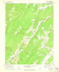
1968 Map of Moatstown
USGS Topo · Published 1973About this map
The South Branch Potomac River carves a deep valley through the center of this terrain, following a narrow corridor between Ruleman Mountain and Jack Mountain. In the late 1960s, this landscape in Pendleton County remained largely defined by small agricultural settlements and rural congregations. Small clusters of activity are visible at Moatstown, Zigler, and Harper, where the valley floor widens enough to support farmsteads and schools. The mapping includes detailed property indicators, such as fence and field lines, which provide a clear picture of land use in the high Appalachian ridges.
Find a feature on this map
48 named features on this map. Tap any name to fly to it.
Don’t see what you’re looking for? This feature index may not catch every label — zoom into the map to look around manually.
Map Details
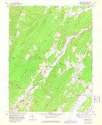
Editions of this 1968 Moatstown Map
2 editions found
Other maps of this area

1889 · Beverly
USGS Topo · 1:125,000

1892 · Beverly
USGS Topo · 1:125,000

1892 · Franklin
USGS Topo · 1:125,000

1894 · Staunton
USGS Topo · 1:125,000

1896 · Franklin
USGS Topo · 1:125,000

1901 · Monterey
USGS Topo · 1:125,000

1922 · Spruce Knob
USGS Topo · 1:48,000

1922 · Circleville
USGS Topo · 1:62,500

1924 · Circleville
USGS Topo · 1:48,000

1924 · Mc Dowell
USGS Topo · 1:62,500