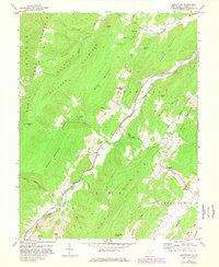
1968 Map of Moatstown
USGS Topo · Published 1982About this map
North Fork Mountain and Ruleman Mountain dominate this corner of Pendleton County, where the steep ridgelines of the Allegheny Mountains dictate the movement of people and water. The South Branch Potomac River carves a winding path through the valley, flanked by U. S. Route 220 and scattered riverside settlements like Harper and Zigler. The landscape is defined by its gaps and knobs, from the high peak of Panther Knob to the passage at Moyer Gap.
Find a feature on this map
46 named features on this map. Tap any name to fly to it.
Don’t see what you’re looking for? This feature index may not catch every label — zoom into the map to look around manually.
Map Details
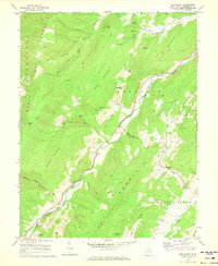
Editions of this 1968 Moatstown Map
2 editions found
Other maps of this area

1889 · Beverly
USGS Topo · 1:125,000

1892 · Beverly
USGS Topo · 1:125,000

1892 · Franklin
USGS Topo · 1:125,000

1894 · Staunton
USGS Topo · 1:125,000

1896 · Franklin
USGS Topo · 1:125,000

1901 · Monterey
USGS Topo · 1:125,000

1922 · Spruce Knob
USGS Topo · 1:48,000

1922 · Circleville
USGS Topo · 1:62,500

1924 · Circleville
USGS Topo · 1:48,000

1924 · Mc Dowell
USGS Topo · 1:62,500