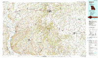
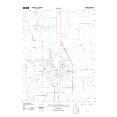
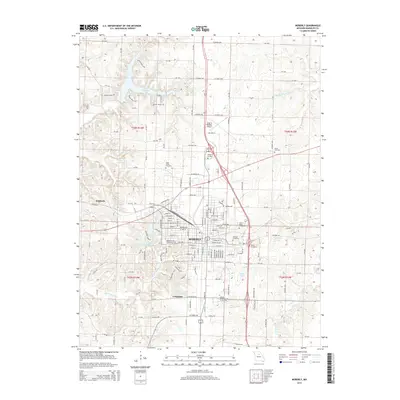
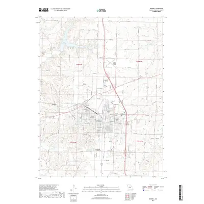
1980 Map of Moberly
USGS Topo · Published 1982About this map
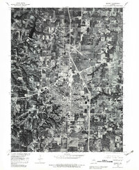
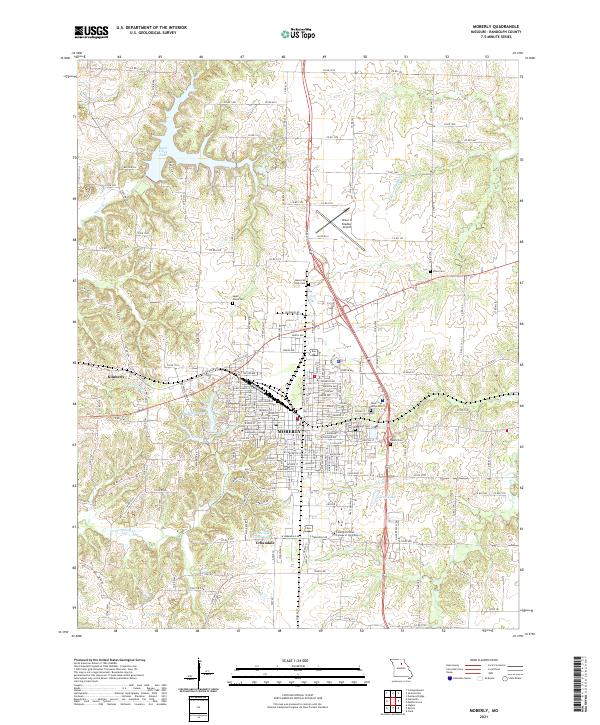
Moberly serves as the central hub in this orthophotographic study, showing the city's dense residential grids and industrial footprint during the early 1980s. The aerial imagery captures the expansion of suburban outgrowths like Urbandale to the south and Kimberly to the west, providing a distinct view of the landscape before more modern development altered these fringes. The natural topography is defined by the winding course of the Elk Fork Salt River in the northeast and the reservoir of Sugar Creek Lake in the northwest, which contrast with the sharp linear boundaries of the surrounding agricultural sections. Tracing the drainages of Sweet Spring Creek, the map reveals the complex intersection of Missouri's central plains and the wooded riparian corridors that break the geometric regularity of the farmland and township lines.
Find a feature on this map
8 named features on this map. Tap any name to fly to it.
Don’t see what you’re looking for? This feature index may not catch every label — zoom into the map to look around manually.
Map Details
Editions of this 1980 Moberly Map
This is the sole edition of this map. No revisions or reprints were ever made.
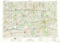
Historical Maps of Moberly Through Time
12 maps found
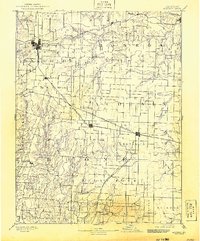
1890 Moberly
Randolph County, MO

1953 Moberly
Randolph County, MO
1953 Moberly
Randolph County, MO
1954 Moberly
Randolph County, MO

1957 Moberly
Randolph County, MO

1960 Moberly
Randolph County, MO
1980 Moberly
Randolph County, MO
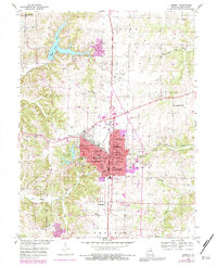
1985 Moberly
Randolph County, MO
2012 Moberly
Randolph County, MO
2014 Moberly
Randolph County, MO
2017 Moberly
Randolph County, MO
2021 Moberly
Randolph County, MO