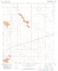
1973 Map of Mobile
USGS Topo · Published 1991About this map
Mobile serves as the primary point of settlement in this arid landscape of south-central Arizona, situated along the Maricopa Road and a significant Pipeline. The map captures a moment of infrastructure development in the early 1970s, where traditional overland paths like the Butterfield Stage Route intersect with modern utility corridors. The terrain is defined by the broad expanses of Rainbow Valley and Mobile Valley, with drainage patterns clearly marked by the West Prong Waterman Wash and Waterman Wash.
Find a feature on this map
16 named features on this map. Tap any name to fly to it.
Don’t see what you’re looking for? This feature index may not catch every label — zoom into the map to look around manually.
Map Details
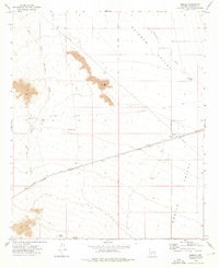
Editions of this 1973 Mobile Map
2 editions found
Other maps of this area

1913 · Maricopa
USGS Topo · 1:62,500

1915 · Maricopa
USGS Topo · 1:62,500

1946 · Antelope Peak
USGS Topo · 1:62,500

1948 · Antelope Peak
USGS Topo · 1:62,500

1951 · Estrella
USGS Topo · 1:62,500

1951 · Mobile
USGS Topo · 1:62,500

1952 · Montezuma Peak
USGS Topo · 1:24,000

1952 · Enid
USGS Topo · 1:24,000
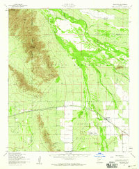
1952 · Maricopa
USGS Topo · 1:62,500

1953 · Ajo
USGS Topo · 1:250,000