
1940 Map of Mobile
USGS Topo · Published 1955About this map
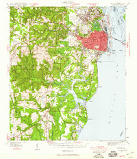
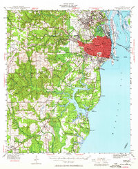
Mobile anchors this coastal survey at the start of the 1940s, showing the city's growth westward from the Mobile River waterfront and the industrial complexes of the State Docks. The urban core is detailed with major landmarks like Magnolia Cemetery, Murphy High Sch, and the Magnolia Baseball Park. To the west, the campus of Spring Hill College and the Visitation Convent sit atop the rising elevation of Spring Hill, while smaller settlements such as Crichton, Toulminville, and Prichard dot the outlying rail corridors.
Find a feature on this map
116 named features on this map. Tap any name to fly to it.
Don’t see what you’re looking for? This feature index may not catch every label — zoom into the map to look around manually.
Map Details
Editions of this 1940 Mobile Map
5 editions found
Other maps of this area

1921 · Grand Bay
USGS Topo · 1:62,500

1921 · Point Clear
USGS Topo · 1:62,500

1921 · Fairhope
USGS Topo · 1:62,500

1921 · Delchamps
USGS Topo · 1:62,500

1922 · Mobile
USGS Topo · 1:62,500

1939 · Daphne
USGS Topo · 1:31,680

1940 · Hollingers Island
USGS Topo · 1:31,680

1940 · Mobile
USGS Topo · 1:31,680

1941 · Chickasaw
USGS Topo · 1:31,680

1941 · Daphne
USGS Topo · 1:31,680