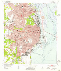
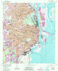
1953 Map of Mobile
USGS Topo · Published 1955About this map
Brookley Air Force Base dominates the southern waterfront of the city in the mid-1950s, serving as a massive industrial and aviation hub on the shores of Mobile Bay. The urban landscape is densely packed with mid-century civic infrastructure, including Ladd Stadium, the historic Barton Academy, and medical centers like Providence Hospital and the Mobile Infirmary. To the north, the rail-oriented growth of Prichard and Whistler is clearly defined, while the complex delta of the Mobile River shows a heavy industrial presence at Pinto Island and McDuffie Island.
Find a feature on this map
120 named features on this map. Tap any name to fly to it.
Don’t see what you’re looking for? This feature index may not catch every label — zoom into the map to look around manually.
Map Details
Editions of this 1953 Mobile Map
5 editions found
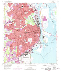
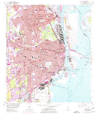
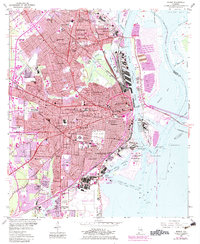
Other maps of this area

1921 · Fairhope
USGS Topo · 1:62,500

1922 · Mobile
USGS Topo · 1:62,500

1939 · Daphne
USGS Topo · 1:31,680

1940 · Hollingers Island
USGS Topo · 1:31,680

1940 · Mobile
USGS Topo · 1:31,680

1940 · Mobile
USGS Topo · 1:62,500

1941 · Chickasaw
USGS Topo · 1:31,680

1941 · Daphne
USGS Topo · 1:31,680

1941 · Blakeley
USGS Topo · 1:31,680

1941 · Bay Minette
USGS Topo · 1:62,500