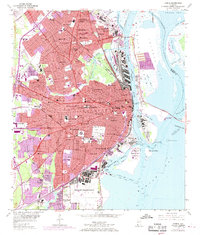
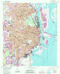
1953 Map of Mobile
USGS Topo · Published 1968About this map
Mobile dominates this mid-century coastal survey, situated where the Mobile River meets Mobile Bay. The city's industrial and maritime foundations are visible through the extensive rail networks of the Gulf Mobile and Ohio RR, Louisville and Nashville RR, and Southern Ry serving the docks and turning basins. In the city's heart, civic and cultural landmarks like Barton Academy, Ladd Stadium, and the expansive Magnolia Cemetery stand near established neighborhoods like Toulminville and Crichton.
Find a feature on this map
120 named features on this map. Tap any name to fly to it.
Don’t see what you’re looking for? This feature index may not catch every label — zoom into the map to look around manually.
Map Details
Editions of this 1953 Mobile Map
5 editions found
Other maps of this area

1921 · Fairhope
USGS Topo · 1:62,500

1922 · Mobile
USGS Topo · 1:62,500

1939 · Daphne
USGS Topo · 1:31,680

1940 · Hollingers Island
USGS Topo · 1:31,680

1940 · Mobile
USGS Topo · 1:31,680

1940 · Mobile
USGS Topo · 1:62,500

1941 · Chickasaw
USGS Topo · 1:31,680

1941 · Daphne
USGS Topo · 1:31,680

1941 · Blakeley
USGS Topo · 1:31,680

1941 · Bay Minette
USGS Topo · 1:62,500