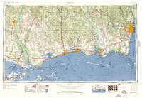
1957 Map of Mobile
USGS Topo · Published 1957About this map
Mobile and the Gulf Coast region are captured here in the mid-1950s, showing a landscape defined by its strategic coastal waterways and emerging Cold War military presence. The map tracks the vital rail corridors of the Gulf Mobile & Ohio and Louisville & Nashville railroads as they connect industrial hubs like Pascagoula and Gulfport to the major ports of New Orleans and Biloxi. This era is marked by the prominence of aviation installations, with Keesler Afb and Brookley Afb serving as central landmarks along the shoreline.
Find a feature on this map
57 named features on this map. Tap any name to fly to it.
Don’t see what you’re looking for? This feature index may not catch every label — zoom into the map to look around manually.
Map Details
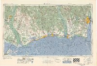
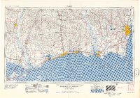
Editions of this 1957 Mobile Map
3 editions found
Other maps of this area
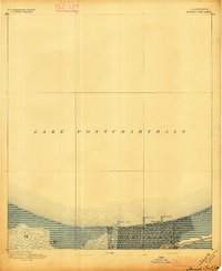
1891 · Spanish Fort
USGS Topo · 1:62,500
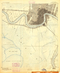
1891 · New Orleans
USGS Topo · 1:62,500
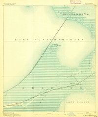
1892 · Chef Menteur
USGS Topo · 1:62,500
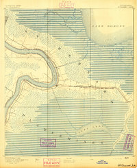
1892 · St. Bernard
USGS Topo · 1:62,500
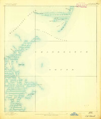
1893 · Cat Island
USGS Topo · 1:62,500
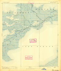
1893 · Rigolets
USGS Topo · 1:62,500
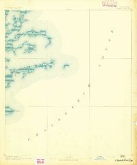
1893 · Chandeleur
USGS Topo · 1:62,500
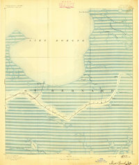
1893 · Shell Beach
USGS Topo · 1:62,500
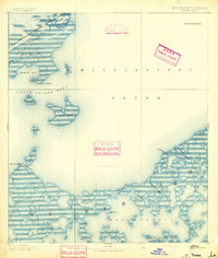
1893 · Toulme
USGS Topo · 1:62,500
1895 · Bodreau
USGS Topo · 1:62,500