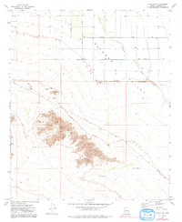
1973 Map of Mobile NW
USGS Topo · Published 1991About this map
Rainbow Valley dominates this arid landscape in central Arizona, captured during a period of infrastructure expansion in the early 1970s. The terrain is defined by the drainage of Waterman Wash and a series of livestock-watering tanks including Youngker Tank, Plug Tank, and Don Tank. Human presence is marked by a sparse network of straight-line survey roads such as Chandler Heights Road and Riggs Road, alongside a prominent Landing Strip and an industrial Substation.
Find a feature on this map
16 named features on this map. Tap any name to fly to it.
Don’t see what you’re looking for? This feature index may not catch every label — zoom into the map to look around manually.
Map Details
Editions of this 1973 Mobile NW Map
2 editions found
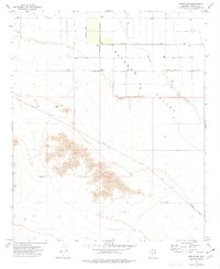
Other maps of this area

1946 · Avondale
USGS Topo · 1:62,500

1948 · Cashion
USGS Topo · 1:62,500

1951 · Mobile
USGS Topo · 1:62,500

1951 · Cotton Center
USGS Topo · 1:62,500

1954 · Phoenix
USGS Topo · 1:250,000

1957 · Phoenix
USGS Topo · 1:250,000

1957 · Avondale SW
USGS Topo · 1:24,000
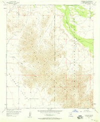
1957 · Avondale SE
USGS Topo · 1:24,000

1958 · Phoenix
USGS Topo · 1:250,000

1958 · Buckeye
USGS Topo · 1:24,000