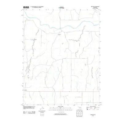
2010 Map of Mocane
USGS Topo · Published 2010About this map
Mocane sits in the southwest corner of this High Plains landscape, where the vast agricultural grid of Beaver County is broken by the meandering path of the Cimarron River. The river corridor across the northern portion of the map is flanked by an extensive network of drainage features, including Hollow D1489 and Hollow E0015, which reveal the erosional patterns typical of the Oklahoma Panhandle. This survey captures the infrastructure of rural life, from the Judy Ranch Airport near the center of the quadrangle to the water management at Xit Number 11 Reservoir and its associated Xit Number 11 Dam. Transportation is centered on the straight east-west line of Highway 64, providing the primary link between isolated settlements and the surrounding cattle country. Local drainages like Spring Creek and dozens of named hollows define the breaks in the otherwise level plains.
Find a feature on this map
31 named features on this map. Tap any name to fly to it.
Don’t see what you’re looking for? This feature index may not catch every label — zoom into the map to look around manually.
Map Details
Editions of this 2010 Mocane Map
This is the sole edition of this map. No revisions or reprints were ever made.
Other maps of this area

1892 · Meade
USGS Topo · 1:125,000

1954 · Perryton
USGS Topo · 1:250,000

1955 · Dodge City
USGS Topo · 1:250,000

1958 · Perryton
USGS Topo · 1:250,000

1958 · Dodge City
USGS Topo · 1:250,000

1959 · Dodge City
USGS Topo · 1:250,000

1962 · Irish Flats SE
USGS Topo · 1:24,000

1963 · Irish Flats
USGS Topo · 1:24,000

1970 · Knowles
USGS Topo · 1:24,000

1970 · Gate NW
USGS Topo · 1:24,000