
1970 Map of Knowles
USGS Topo · Published 1972About this map
Knowles sits as the primary settlement in this section of the Oklahoma Panhandle, situated along the Missouri-Kansas-Texas railroad line. The landscape is defined by the broad path of the Beaver River, which winds through the southern portion of the quadrangle, joined by tributaries such as Mexico Creek and Kidds Creek. This 1970 survey reveals an economy deeply tied to energy extraction, with a dense network of Gas Wells, Oil Wells, and a central Pumping Station indicating the maturity of the local gas and oil fields during this era. Surveyed just before the decade's end, the map also captures smaller industrial details like Gravel Pits and a Drill Hole, reflecting the physical modification of the High Plains terrain for resource transport and infrastructure development.
Find a feature on this map
16 named features on this map. Tap any name to fly to it.
Don’t see what you’re looking for? This feature index may not catch every label — zoom into the map to look around manually.
Map Details
Editions of this 1970 Knowles Map
This is the sole edition of this map. No revisions or reprints were ever made.
Other maps of this area

1954 · Perryton
USGS Topo · 1:250,000

1958 · Perryton
USGS Topo · 1:250,000

1970 · Gate
USGS Topo · 1:24,000
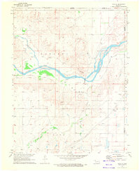
1970 · Gate NE
USGS Topo · 1:24,000

1970 · Gate NW
USGS Topo · 1:24,000

1970 · Mocane SE
USGS Topo · 1:24,000
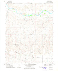
1970 · Mocane
USGS Topo · 1:24,000

1971 · Clear Lake
USGS Topo · 1:24,000

1971 · Logan NW
USGS Topo · 1:24,000

1971 · Logan NE
USGS Topo · 1:24,000