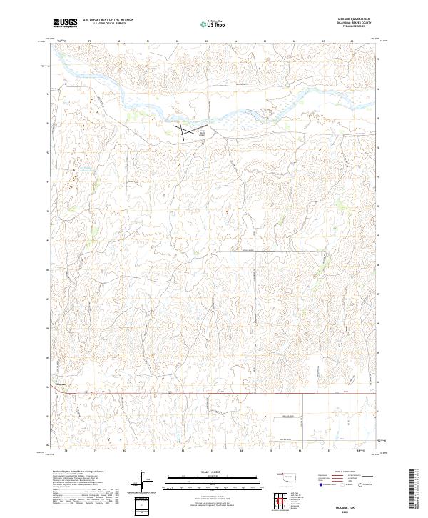
2022 Map of Mocane
USGS Topo · Published 2022About this map
The Cimarron River winds through the northern portion of this Beaver County landscape, defining the topography of the High Plains as it cuts through the Oklahoma Panhandle. This region is characterized by a network of drainage channels and hollows, including Spring Cr, which flow toward the river valley. The small settlement of Mocane is situated in the southwestern section of the map at the intersection of local routes, serving as a quiet focal point for the surrounding agricultural and ranching operations.
Find a feature on this map
40 named features on this map. Tap any name to fly to it.
Don’t see what you’re looking for? This feature index may not catch every label — zoom into the map to look around manually.
Map Details
Editions of this 2022 Mocane Map
This is the sole edition of this map. No revisions or reprints were ever made.
Other maps of this area

1892 · Meade
USGS Topo · 1:125,000

1954 · Perryton
USGS Topo · 1:250,000

1955 · Dodge City
USGS Topo · 1:250,000

1958 · Perryton
USGS Topo · 1:250,000

1958 · Dodge City
USGS Topo · 1:250,000

1959 · Dodge City
USGS Topo · 1:250,000

1962 · Irish Flats SE
USGS Topo · 1:24,000

1963 · Irish Flats
USGS Topo · 1:24,000

1970 · Knowles
USGS Topo · 1:24,000

1970 · Gate NW
USGS Topo · 1:24,000