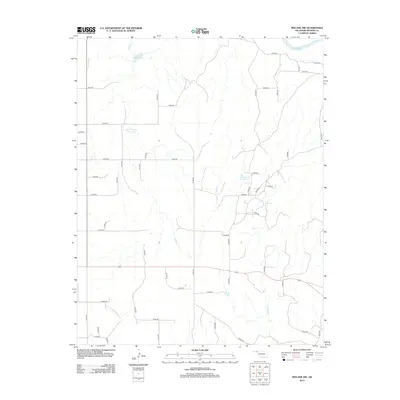
2012 Map of Mocane NW
USGS Topo · Published 2012About this map
The Cimarron River winds through the northern portion of this Beaver County landscape, defining the local hydrology alongside several tributary drainages such as Timber Cr. This rural territory is characterized by a sprawling grid of county roads and a network of managed water resources, including the Xit Number 10 Reservoir and Xit Number 8 Reservoir. These reservoirs, along with the Eagon Number 1 Reservoir, suggest a landscape deeply tied to livestock management and agricultural irrigation in the Oklahoma Panhandle. The geometric regularity of the road system, including routes like n1420 RD and e0040 RD, illustrates the systematic land division of the High Plains, providing access to isolated homesteads and ranching operations across the prairie.
Find a feature on this map
49 named features on this map. Tap any name to fly to it.
Don’t see what you’re looking for? This feature index may not catch every label — zoom into the map to look around manually.
Map Details
Editions of this 2012 Mocane NW Map
This is the sole edition of this map. No revisions or reprints were ever made.
Other maps of this area

1892 · Meade
USGS Topo · 1:125,000

1954 · Perryton
USGS Topo · 1:250,000

1955 · Dodge City
USGS Topo · 1:250,000

1958 · Perryton
USGS Topo · 1:250,000

1958 · Dodge City
USGS Topo · 1:250,000

1959 · Dodge City
USGS Topo · 1:250,000

1962 · Irish Flats SE
USGS Topo · 1:24,000

1963 · Kismet SE
USGS Topo · 1:24,000

1963 · Irish Flats
USGS Topo · 1:24,000

1970 · Mocane NW
USGS Topo · 1:24,000