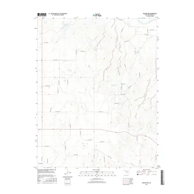
2016 Map of Mocane NW
USGS Topo · Published 2016About this map
The Cimarron River winds across the northern edge of this high plains landscape, defining the northern border of Beaver County in the Oklahoma Panhandle. This area is characterized by a network of seasonal water management systems and rural transportation routes, reflecting the region's agricultural reliance on surface water storage. Notable examples include the Eagon Number 1 Reservoir and several numbered catchments like Xit Number 8 Reservoir and Xit Number 10 Reservoir, which are integrated into the rolling terrain. The map details the transition from the river valley to the upland drainage basins of Timber Cr. A strictly organized section line road system, including routes like NS 140 and Ew 7, provides the primary structure for the remote homesteads and ranching operations scattered throughout this portion of the Panhandle.
Find a feature on this map
48 named features on this map. Tap any name to fly to it.
Don’t see what you’re looking for? This feature index may not catch every label — zoom into the map to look around manually.
Map Details
Editions of this 2016 Mocane NW Map
This is the sole edition of this map. No revisions or reprints were ever made.
Other maps of this area

1892 · Meade
USGS Topo · 1:125,000

1954 · Perryton
USGS Topo · 1:250,000

1955 · Dodge City
USGS Topo · 1:250,000

1958 · Perryton
USGS Topo · 1:250,000

1958 · Dodge City
USGS Topo · 1:250,000

1959 · Dodge City
USGS Topo · 1:250,000

1962 · Irish Flats SE
USGS Topo · 1:24,000

1963 · Kismet SE
USGS Topo · 1:24,000

1963 · Irish Flats
USGS Topo · 1:24,000

1970 · Mocane NW
USGS Topo · 1:24,000