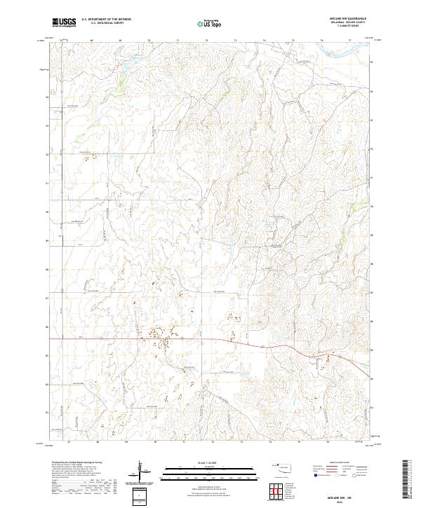
2022 Map of Mocane NW
USGS Topo · Published 2022About this map
The Cimarron River cuts through the northern reaches of this Oklahoma panhandle landscape, defining the local hydrology alongside several modern catchment systems. Artificial water management is central to the area, evidenced by the Xit Number 10 Reservoir, Xit Number 8 Reservoir, and Eagan Number 1 Reservoir. These reservoirs, likely tied to local ranching or agricultural operations, sit among a network of drainage ways and intermittent streams like Sand Creek. The terrestrial layout follows a rigid section-line grid typical of the Great Plains, with roads such as Hollow E0030 and Hollow E0060 providing access through the townships of t6n r24e and t5n r24e. This digital-era survey provides a clear view of the rural infrastructure and land divisions in Beaver County during the early twenty-first century.
Find a feature on this map
26 named features on this map. Tap any name to fly to it.
Don’t see what you’re looking for? This feature index may not catch every label — zoom into the map to look around manually.
Map Details
Editions of this 2022 Mocane NW Map
This is the sole edition of this map. No revisions or reprints were ever made.
Other maps of this area

1892 · Meade
USGS Topo · 1:125,000

1954 · Perryton
USGS Topo · 1:250,000

1955 · Dodge City
USGS Topo · 1:250,000

1958 · Perryton
USGS Topo · 1:250,000

1958 · Dodge City
USGS Topo · 1:250,000

1959 · Dodge City
USGS Topo · 1:250,000

1962 · Irish Flats SE
USGS Topo · 1:24,000

1963 · Kismet SE
USGS Topo · 1:24,000

1963 · Irish Flats
USGS Topo · 1:24,000

1970 · Mocane NW
USGS Topo · 1:24,000