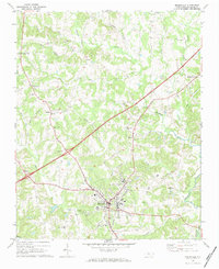
1969 Map of Mocksville
USGS Topo · Published 1984About this map
Mocksville serves as the focal point of this Piedmont landscape, where the Southern railroad line intersects the local road network. The settlement pattern reveals a series of smaller communities and crossroads, including Cana and Stanleys Store to the north, and Smith Grove to the northeast. The rural character is underscored by numerous community landmarks such as Eaton Ch, Chestnut Grove Ch, and St Francis Ch, many accompanied by family and community cemeteries like Rose Cem.
Find a feature on this map
41 named features on this map. Tap any name to fly to it.
Don’t see what you’re looking for? This feature index may not catch every label — zoom into the map to look around manually.
Map Details
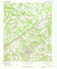
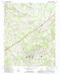
Editions of this 1969 Mocksville Map
3 editions found
Other maps of this area

1891 · Yadkinville
USGS Topo · 1:125,000

1893 · Statesville
USGS Topo · 1:125,000

1893 · Yadkinville
USGS Topo · 1:125,000

1950 · Churchland
USGS Topo · 1:24,000

1951 · Churchland
USGS Topo · 1:24,000

1953 · Charlotte
USGS Topo · 1:250,000

1953 · Winston-Salem
USGS Topo · 1:250,000

1954 · Charlotte
USGS Topo · 1:250,000

1955 · Winston-Salem
USGS Topo · 1:250,000

1960 · Charlotte
USGS Topo · 1:250,000