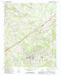
1969 Map of Mocksville
USGS Topo · Published 1994About this map
Mocksville serves as the focal point of this 1969 Davie County survey, which was updated in 1994 to show the evolving transit landscape of the Piedmont region. The map captures a transition as Interstate 64 carves through the rural landscape, bypassing older crossroads like Cana and Smith Grove. Despite this modernization, the map preserves a dense network of local landmarks essential for genealogists, including the Eaton Ch Cem and numerous country sanctuaries such as Chestnut Grove Ch, Bethel Ch, and Union Chapel.
Find a feature on this map
37 named features on this map. Tap any name to fly to it.
Don’t see what you’re looking for? This feature index may not catch every label — zoom into the map to look around manually.
Map Details
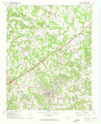
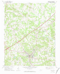
Editions of this 1969 Mocksville Map
3 editions found
Other maps of this area

1891 · Yadkinville
USGS Topo · 1:125,000

1893 · Statesville
USGS Topo · 1:125,000

1893 · Yadkinville
USGS Topo · 1:125,000

1950 · Churchland
USGS Topo · 1:24,000

1951 · Churchland
USGS Topo · 1:24,000

1953 · Charlotte
USGS Topo · 1:250,000

1953 · Winston-Salem
USGS Topo · 1:250,000

1954 · Charlotte
USGS Topo · 1:250,000

1955 · Winston-Salem
USGS Topo · 1:250,000

1960 · Charlotte
USGS Topo · 1:250,000