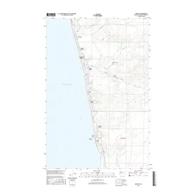
2017 Map of Moclips
USGS Topo · Published 2017About this map
Moclips and its neighboring coastal settlements line the rugged edge of the Pacific Ocean in this coastal Washington survey. The landscape is defined by the transition from the sandy shorelines at Sunset Beach and Pacific Beach to the rising elevations of Yellow Bluff and the inland forest roads. The coastal corridor is dotted with small residential developments like Highland Heights and Ocean Grove, while the local infrastructure includes the Copalis State Airport positioned near the striking formations of Copalis Rock and Copalis Head.
Find a feature on this map
37 named features on this map. Tap any name to fly to it.
Don’t see what you’re looking for? This feature index may not catch every label — zoom into the map to look around manually.
Map Details
Editions of this 2017 Moclips Map
This is the sole edition of this map. No revisions or reprints were ever made.
Other maps of this area

1938 · Moclips
USGS Topo · 1:62,500

1941 · Moclips
USGS Topo · 1:62,500

1943 · Copalis Beach
USGS Topo · 1:250,000

1951 · Copalis Beach
USGS Topo · 1:250,000

1955 · Taholah
USGS Topo · 1:62,500

1955 · Macafee Hill
USGS Topo · 1:62,500

1955 · Carlisle
USGS Topo · 1:24,000

1955 · Copalis Beach
USGS Topo · 1:24,000
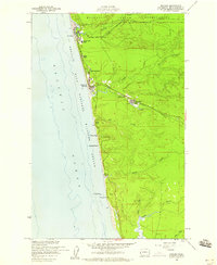
1955 · Moclips
USGS Topo · 1:24,000

1956 · Copalis Crossing
USGS Topo · 1:24,000