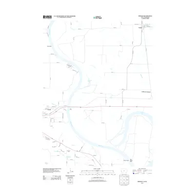
2013 Map of Modale
USGS Topo · Published 2013About this map
Missouri River oxbows and drainage canals dominate this borderland between Iowa and Nebraska, where the river's shifting course has left behind complex water features. The settlement of Blair sits on the western bluffs, while the eastern floodplain is managed through an extensive network of ditches including Modale Ditch, Youngs Ditch, and Cameron Ditch. These engineering efforts support the agricultural communities of Modale and California Junction.
Find a feature on this map
85 named features on this map. Tap any name to fly to it.
Don’t see what you’re looking for? This feature index may not catch every label — zoom into the map to look around manually.
Map Details
Editions of this 2013 Modale Map
This is the sole edition of this map. No revisions or reprints were ever made.
Other maps of this area

1893 · Omaha
USGS Topo · 1:62,500

1893 · Fremont
USGS Topo · 1:125,000

1896 · Fremont
USGS Topo · 1:125,000

1954 · Omaha
USGS Topo · 1:250,000

1955 · Fremont
USGS Topo · 1:250,000

1957 · Fremont
USGS Topo · 1:250,000

1957 · Omaha
USGS Topo · 1:250,000

1957 · Loveland
USGS Topo · 1:24,000

1958 · Omaha
USGS Topo · 1:250,000

1958 · Fremont
USGS Topo · 1:250,000