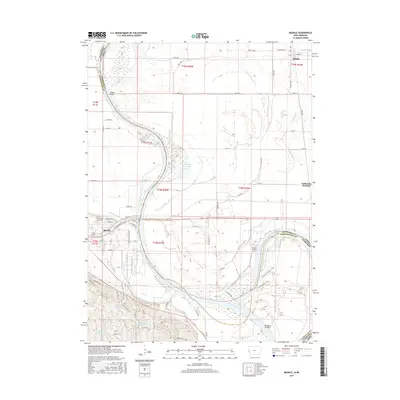
2015 Map of Modale
USGS Topo · Published 2015About this map
Missouri River oxbows and remnant channels define the state border between Iowa and Nebraska, where the river's historical shifts have left a complex landscape of wetlands and drainage ditches. The settlement of Blair, Nebraska, anchors the southwestern corner, featuring the Blair Cem and a concentration of local infrastructure near the riverbanks. Across the water in Iowa, the communities of Modale and California Junction are situated within a broad alluvial plain managed by extensive water systems like the Modale Ditch, Lounges Ditch, and California Cutoff.
Find a feature on this map
75 named features on this map. Tap any name to fly to it.
Don’t see what you’re looking for? This feature index may not catch every label — zoom into the map to look around manually.
Map Details
Editions of this 2015 Modale Map
This is the sole edition of this map. No revisions or reprints were ever made.
Other maps of this area

1893 · Omaha
USGS Topo · 1:62,500

1893 · Fremont
USGS Topo · 1:125,000

1896 · Fremont
USGS Topo · 1:125,000

1954 · Omaha
USGS Topo · 1:250,000

1955 · Fremont
USGS Topo · 1:250,000

1957 · Fremont
USGS Topo · 1:250,000

1957 · Omaha
USGS Topo · 1:250,000

1957 · Loveland
USGS Topo · 1:24,000

1958 · Omaha
USGS Topo · 1:250,000

1958 · Fremont
USGS Topo · 1:250,000