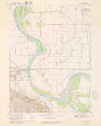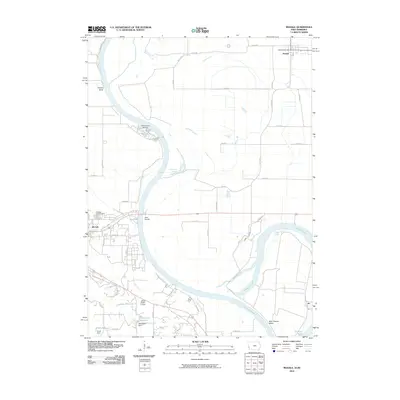
2022 Map of Modale
USGS Topo · Published 2022About this map
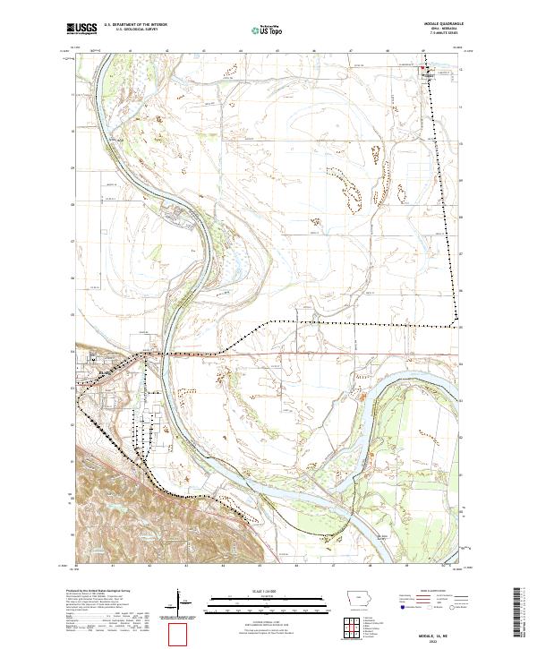
The Missouri River floodplain defines this region where Blair, Nebraska, and Modale, Iowa, sit on opposite sides of the state boundary. This survey illustrates the intricate water management of the lowlands, marked by engineering projects like the Modale Ditch and Cameron Ditch. These artificial channels reveal the ongoing effort to manage the fertile bottomlands between the shifting river channel and the bluffs. To the west, the settlement of Blair serves as a local hub, featuring the Blair Cem and a structured street grid that contrasts with the broad agricultural tracts of the surrounding Washington and Harrison counties. The map effectively documents the intersection of natural river dynamics and human settlement patterns in the early 2020s.
Find a feature on this map
16 named features on this map. Tap any name to fly to it.
Don’t see what you’re looking for? This feature index may not catch every label — zoom into the map to look around manually.
Map Details
Editions of this 2022 Modale Map
This is the sole edition of this map. No revisions or reprints were ever made.
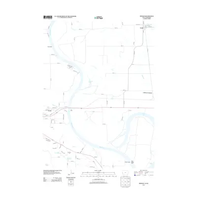
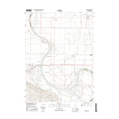
Historical Maps of Blair Through Time
6 maps found