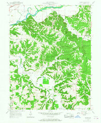
1957 Map of Modesto
USGS Topo · Published 1958About this map
The Old Indian Treaty Boundary cuts diagonally across this 1950s landscape, marking a historical line through northern Monroe County and southern Morgan County. The terrain is characterized by the winding path of Beanblossom Creek and the White River, the latter spanned by the Paragon Bridge. Much of the central and eastern portions are preserved as the Morgan Monroe State Forest, where the dense topography is punctuated by numerous family-named landmarks and rural institutions.
Find a feature on this map
47 named features on this map. Tap any name to fly to it.
Don’t see what you’re looking for? This feature index may not catch every label — zoom into the map to look around manually.
Map Details
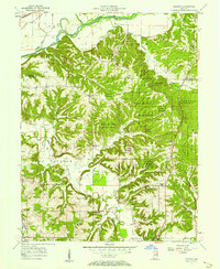
Editions of this 1957 Modesto Map
2 editions found
Other maps of this area

1908 · Bloomington
USGS Topo · 1:48,000

1910 · Bloomington
USGS Topo · 1:62,500

1942 · Franklin
USGS Topo · 1:125,000

1947 · Unionville
USGS Topo · 1:24,000

1947 · Gosport
USGS Topo · 1:24,000

1948 · Hindustan
USGS Topo · 1:24,000

1949 · Quincy
USGS Topo · 1:24,000

1950 · Gosport
USGS Topo · 1:24,000

1953 · Indianapolis
USGS Topo · 1:250,000

1955 · Martinsville
USGS Topo · 1:24,000