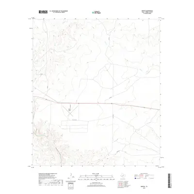
2019 Map of Mofeta
USGS Topo · Published 2019About this map
Terrell County Airport serves as a central landmark in this arid stretch of West Texas, situated along the corridor of U.S. Route 90. The landscape is defined by significant drainage systems, most notably the deep incision of Sanderson Canyon and the winding course of Sanderson Cr in the southwest. To the north, the terrain is carved by the upper reaches of Buck Cr. A network of rural routes, including Odom Rd and Valley View Rd, provides access to the high plateau and canyon breaks. The topographic contours reveal a complex series of mesas and draws typical of the Trans-Pecos region, illustrating the rugged geography that dictates the placement of infrastructure and aviation facilities in Terrell County.
Find a feature on this map
10 named features on this map. Tap any name to fly to it.
Don’t see what you’re looking for? This feature index may not catch every label — zoom into the map to look around manually.
Map Details
Editions of this 2019 Mofeta Map
This is the sole edition of this map. No revisions or reprints were ever made.
Other maps of this area

1918 · Dryden Crossing
USGS Topo · 1:62,500

1918 · Indian Wells
USGS Topo · 1:62,500

1928 · Sanderson
USGS Topo · 1:125,000

1954 · Fort Stockton
USGS Topo · 1:250,000

1958 · Fort Stockton
USGS Topo · 1:250,000

1959 · Emory Peak
USGS Topo · 1:250,000

1965 · Emory Peak
USGS Topo · 1:250,000

1968 · Dryden
USGS Topo · 1:24,000

1969 · Sanderson SE
USGS Topo · 1:24,000

1969 · Mofeta
USGS Topo · 1:24,000