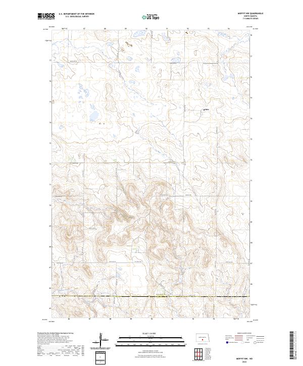
2024 Map of Moffit NW
USGS Topo · Published 2024About this map
The settlement of Brittin sits in the northeastern reaches of this landscape, an area characterized by the transition from the undulating uplands of Burleigh County to the drainage systems of Long Lake Creek and Glencoe Creek. This modern survey illustrates the enduring grid of the Public Land Survey System, where section lines are traced by routes like Moffit Rd and 210th St SE. The map captures the dividing line between Burleigh Co and Emmons Co in the south, providing a precise look at how the section boundaries of T137N and T138N interact with the natural coulees and wetlands that pepper the prairie. It is a detailed representation of the contemporary rural infrastructure that supports the agricultural life of these North Dakota townships.
Find a feature on this map
26 named features on this map. Tap any name to fly to it.
Don’t see what you’re looking for? This feature index may not catch every label — zoom into the map to look around manually.
Map Details
Editions of this 2024 Moffit NW Map
This is the sole edition of this map. No revisions or reprints were ever made.
Other maps of this area

1907 · Bismarck
USGS Topo · 1:125,000

1951 · Menoken
USGS Topo · 1:62,500

1951 · McKenzie
USGS Topo · 1:62,500

1954 · Bismarck
USGS Topo · 1:250,000

1958 · Bismarck
USGS Topo · 1:250,000

1971 · Moffit SW
USGS Topo · 1:24,000

1971 · Moffit SE
USGS Topo · 1:24,000

1971 · Fort Rice
USGS Topo · 1:24,000

1971 · Huff NE
USGS Topo · 1:24,000

1971 · Moffit NW
USGS Topo · 1:24,000