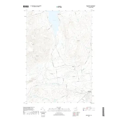
2019 Map of Moffitsville
USGS Topo · Published 2019About this map
Chazy Lake and the high peaks of the northern Adirondacks dominate this landscape in Clinton County. The area is defined by the legacy of mountain transport, featuring both the D and H Rd and a distinct Old Rail Road Bed winding through the terrain. Small settlements like Russia and Moffitsville serve as local hubs, connected by a network of rural roads such as Clark Hill Rd and True Brook Rd.
Find a feature on this map
48 named features on this map. Tap any name to fly to it.
Don’t see what you’re looking for? This feature index may not catch every label — zoom into the map to look around manually.
Map Details
Editions of this 2019 Moffitsville Map
This is the sole edition of this map. No revisions or reprints were ever made.
Other maps of this area

1895 · Mooers
USGS Topo · 1:62,500

1899 · Mooers
USGS Topo · 1:62,500

1911 · Lyon Mountain
USGS Topo · 1:62,500

1913 · Dannemora
USGS Topo · 1:62,500

1913 · Lyon Mountain
USGS Topo · 1:62,500

1915 · Churubusco
USGS Topo · 1:62,500

1931 · Lyon Mountain
USGS Topo · 1:62,500

1942 · Mooers
USGS Topo · 1:62,500

1943 · Churubusco
USGS Topo · 1:62,500

1943 · Mooers
USGS Topo · 1:62,500