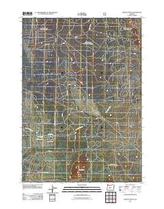
2011 Map of Moffitt Butte
USGS Topo · Published 2011About this map
Moffitt Butte rises as a prominent landmark in this high desert landscape of Central Oregon, overlooking a web of forestry and access roads that define the region's management. The hydrography is dominated by Long Pine Slough, which meanders through the central and southern portions of the terrain. While much of the area is characterized by forest service routes like Nfd 100 Rd and Moffitt Butte Rd, residential clusters are visible in the southwest. Streets such as Sun Forest Dr, Alderwood Dr, and Beechwood Dr indicate localized development and rural housing patterns. This 2011 survey captures the area at a time when traditional resource-management tracks intersected with growing residential interests, showing the exact layout of numerous numbered service roads including SB 10 Rd and SB 5 Rd.
Find a feature on this map
17 named features on this map. Tap any name to fly to it.
Don’t see what you’re looking for? This feature index may not catch every label — zoom into the map to look around manually.
Map Details
Editions of this 2011 Moffitt Butte Map
This is the sole edition of this map. No revisions or reprints were ever made.
Other maps of this area

1930 · Maiden Peak
USGS Topo · 1:125,000

1931 · Newberry Crater
USGS Topo · 1:125,000

1934 · Maiden Peak
USGS Topo · 1:125,000

1935 · Chemult
USGS Topo · 1:96,000

1935 · Newberry Crater
USGS Topo · 1:125,000

1941 · Chemult
USGS Topo · 1:125,000

1955 · Crescent
USGS Topo · 1:250,000

1957 · Crescent
USGS Topo · 1:250,000

1958 · Crescent
USGS Topo · 1:250,000

1963 · La Pine
USGS Topo · 1:24,000