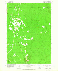
1963 Map of Moffitt Butte
USGS Topo · Published 1965About this map
Moffit Butte rises as the central landmark of this high-altitude landscape along the border of Deschutes Co and Klamath Co. Surveyed in the early 1960s, the terrain is dominated by the vast timberlands of the Deschutes National Forest, where clearings and forest access roads reveal a sparse human presence. The western edge of the map is defined by the strategic path of the Great Northern railroad, a critical link for the region's historical timber economy. Water sources are scarce in this volcanic terrain, making the specific locations of Well and Dealys Well significant points for local history and land management. The map illustrates the intersection of industrial transport and federal forest conservation at a time when these high-country resources were under active management.
Find a feature on this map
6 named features on this map. Tap any name to fly to it.
Don’t see what you’re looking for? This feature index may not catch every label — zoom into the map to look around manually.
Map Details
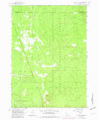
Editions of this 1963 Moffitt Butte Map
2 editions found
Other maps of this area

1930 · Maiden Peak
USGS Topo · 1:125,000

1931 · Newberry Crater
USGS Topo · 1:125,000

1934 · Maiden Peak
USGS Topo · 1:125,000

1935 · Chemult
USGS Topo · 1:96,000

1935 · Newberry Crater
USGS Topo · 1:125,000

1941 · Chemult
USGS Topo · 1:125,000

1955 · Crescent
USGS Topo · 1:250,000

1957 · Crescent
USGS Topo · 1:250,000

1958 · Crescent
USGS Topo · 1:250,000

1963 · La Pine
USGS Topo · 1:24,000