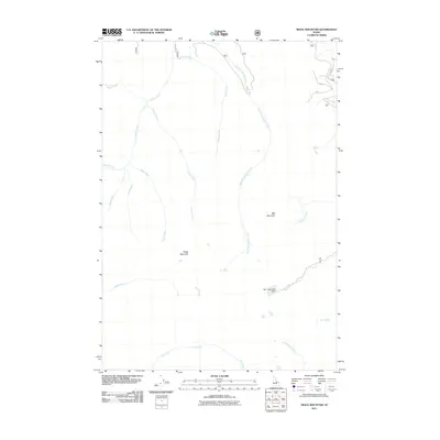
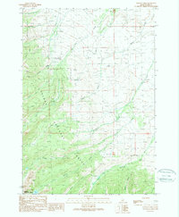
2011 Map of Mogg Mountain
USGS Topo · Published 2011About this map
Mogg Mountain and Mill Mountain define this high-elevation landscape in Lemhi County, serving as the headwaters for a complex network of alpine streams. This 2011 survey captures the drainage patterns of the Lemhi Range before major contemporary shifts in land management, showing the convergence of Hayden Creek and its many tributaries, including East Fork Hayden Creek and Tobias Creek. The presence of the Mill Creek Lake Dam indicates water management priorities in these steep canyons. Remote forest service routes like 010 and 006 provide the only access into these watersheds, where Patterson Creek and Falls Creek carve through the deep terrain. For researchers and geologists, the map provides a precise record of the hydrologic features that shape this portion of the Salmon River Mountains.
Find a feature on this map
20 named features on this map. Tap any name to fly to it.
Don’t see what you’re looking for? This feature index may not catch every label — zoom into the map to look around manually.
Map Details
Editions of this 2011 Mogg Mountain Map
This is the sole edition of this map. No revisions or reprints were ever made.
Other maps of this area

1955 · Dubois
USGS Topo · 1:250,000

1956 · Patterson
USGS Topo · 1:62,500

1956 · May
USGS Topo · 1:62,500

1956 · Lemhi
USGS Topo · 1:62,500

1958 · Dubois
USGS Topo · 1:250,000
1962 · Lem Peak
USGS Topo · 1:24,000

1980 · Leadore
USGS Topo · 1:100,000
1989 · Lemhi
USGS Topo · 1:24,000
1989 · Mogg Mountain
USGS Topo · 1:24,000
1989 · Stroud Creek
USGS Topo · 1:24,000