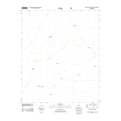
2011 Map of Mogollon Baldy Peak
USGS Topo · Published 2011About this map
Mogollon Baldy Lookout stands as a primary high-altitude vantage point in this 2011 survey, situated atop Mogollon Baldy Peak. This high-country wilderness in the Gila National Forest is defined by a complex network of drainage systems, most notably the West Fork Gila River, which is fed by numerous tributaries including Iron Creek, Cub Creek, and White Creek.
Find a feature on this map
20 named features on this map. Tap any name to fly to it.
Don’t see what you’re looking for? This feature index may not catch every label — zoom into the map to look around manually.
Map Details
Editions of this 2011 Mogollon Baldy Peak Map
This is the sole edition of this map. No revisions or reprints were ever made.
Other maps of this area

1910 · Mogollon
USGS Topo · 1:125,000

1911 · Alum Mountain
USGS Topo · 1:125,000

1912 · Mogollon
USGS Topo · 1:125,000

1913 · Alum Mountain
USGS Topo · 1:125,000

1954 · Clifton
USGS Topo · 1:250,000

1957 · Clifton
USGS Topo · 1:250,000

1958 · Clifton
USGS Topo · 1:250,000

1962 · Clifton
USGS Topo · 1:250,000

1963 · Bearwallow Mountain
USGS Topo · 1:24,000

1963 · Negrito Mountain
USGS Topo · 1:24,000