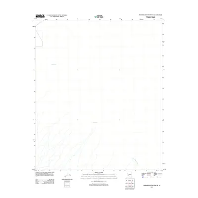
2011 Map of Mohawk Mountains NE
USGS Topo · Published 2011About this map
San Cristobal Wash carves through the arid landscape of Yuma County, marking the primary drainage in this desert expanse. The region is characterized by sparse water sources, represented here by isolated points such as Pimeria Well and Garcia Well. These features indicate the vital infrastructure required for human activity and livestock in an otherwise dry environment. The mapping reflects a period of modern geospatial documentation by the U.S. Geological Survey, focusing on the natural topography and the limited but essential hydraulic landmarks that define the territory north of the Mohawk Mountains.
Find a feature on this map
3 named features on this map. Tap any name to fly to it.
Don’t see what you’re looking for? This feature index may not catch every label — zoom into the map to look around manually.
Map Details
Editions of this 2011 Mohawk Mountains NE Map
This is the sole edition of this map. No revisions or reprints were ever made.
Other maps of this area

1927 · Aguila Mountains
USGS Topo · 1:48,000

1927 · Kim
USGS Topo · 1:62,500

1929 · Aztec
USGS Topo · 1:62,500

1930 · Aguila Mountains
USGS Topo · 1:62,500

1930 · Stoval
USGS Topo · 1:62,500

1931 · Kim
USGS Topo · 1:62,500

1950 · Stoval
USGS Topo · 1:62,500

1950 · Aztec
USGS Topo · 1:62,500

1953 · Ajo
USGS Topo · 1:250,000

1957 · Ajo
USGS Topo · 1:250,000