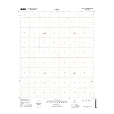
2014 Map of Mohawk Mountains NE
USGS Topo · Published 2014About this map
San Cristobal Valley dominates this landscape in Yuma County, characterized by a desert basin defined by the gradual drainage of the San Cristobal Wash. The map reveals a highly structured environment partitioned by the Public Land Survey System, with township boundaries for t8s r13w, t8s r12w, and their southern counterparts creating a geometric grid across the arid terrain. This 2014 survey documents the subtle elevation changes within the valley floor, where the dry wash system serves as the primary topographical feature in an otherwise sparse and open expanse of the Arizona desert.
Find a feature on this map
6 named features on this map. Tap any name to fly to it.
Don’t see what you’re looking for? This feature index may not catch every label — zoom into the map to look around manually.
Map Details
Editions of this 2014 Mohawk Mountains NE Map
This is the sole edition of this map. No revisions or reprints were ever made.
Other maps of this area

1927 · Aguila Mountains
USGS Topo · 1:48,000

1927 · Kim
USGS Topo · 1:62,500

1929 · Aztec
USGS Topo · 1:62,500

1930 · Aguila Mountains
USGS Topo · 1:62,500

1930 · Stoval
USGS Topo · 1:62,500

1931 · Kim
USGS Topo · 1:62,500

1950 · Stoval
USGS Topo · 1:62,500

1950 · Aztec
USGS Topo · 1:62,500

1953 · Ajo
USGS Topo · 1:250,000

1957 · Ajo
USGS Topo · 1:250,000