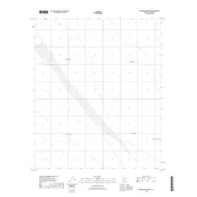
2018 Map of Mohawk Mountains NE
USGS Topo · Published 2018About this map
San Cristobal Wash bisects this arid stretch of the Sonoran Desert, carving a wide, sandy path through the San Cristobal Valley. This 2018 topographic survey focuses on the vast, undeveloped landscape of Yuma County, defined by its massive drainage systems and subtle elevation changes across the valley floor. The map captures the geometric precision of the Public Land Survey System, showing the township and range boundaries of t8s r13w, t8s r12w, t9s r13w, and t9s r12w. The lack of permanent structures or roads highlights the environment's character as an expansive corridor for seasonal water flow and desert ecology, rather than a site of human habitation.
Find a feature on this map
6 named features on this map. Tap any name to fly to it.
Don’t see what you’re looking for? This feature index may not catch every label — zoom into the map to look around manually.
Map Details
Editions of this 2018 Mohawk Mountains NE Map
This is the sole edition of this map. No revisions or reprints were ever made.
Other maps of this area

1927 · Aguila Mountains
USGS Topo · 1:48,000

1927 · Kim
USGS Topo · 1:62,500

1929 · Aztec
USGS Topo · 1:62,500

1930 · Aguila Mountains
USGS Topo · 1:62,500

1930 · Stoval
USGS Topo · 1:62,500

1931 · Kim
USGS Topo · 1:62,500

1950 · Stoval
USGS Topo · 1:62,500

1950 · Aztec
USGS Topo · 1:62,500

1953 · Ajo
USGS Topo · 1:250,000

1957 · Ajo
USGS Topo · 1:250,000