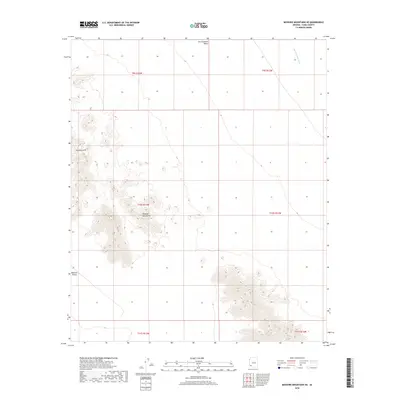
2018 Map of Mohawk Mountains SE
USGS Topo · Published 2018About this map
The Mohawk Mountains rise sharply in this corner of Yuma County, defining the arid landscape between the Mohawk Valley to the southwest and the San Cristobal Valley to the north. This 2018 survey provides a clear view of the complex topography of the range, including the prominent landmark of Gunnery Arch. The northeast corner is marked by the seasonal drainage of San Cristobal Wash, illustrating the sparse water resources of this desert region. The map primarily reflects an undeveloped landscape, divided by the Public Land Survey System into townships and ranges such as t10s r13w and t10s r12w, emphasizing the remote nature of this portion of the Arizona desert.
Find a feature on this map
11 named features on this map. Tap any name to fly to it.
Don’t see what you’re looking for? This feature index may not catch every label — zoom into the map to look around manually.
Map Details
Editions of this 2018 Mohawk Mountains SE Map
This is the sole edition of this map. No revisions or reprints were ever made.
Other maps of this area

1927 · Aguila Mountains
USGS Topo · 1:48,000

1927 · Kim
USGS Topo · 1:62,500

1930 · Aguila Mountains
USGS Topo · 1:62,500

1931 · Kim
USGS Topo · 1:62,500

1953 · Ajo
USGS Topo · 1:250,000

1957 · Ajo
USGS Topo · 1:250,000

1958 · Ajo
USGS Topo · 1:250,000

1962 · Ajo
USGS Topo · 1:250,000

1963 · Ajo
USGS Topo · 1:250,000
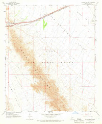
1965 · Mohawk Mts NW
USGS Topo · 1:24,000