
1928 Map of Mohawk
USGS Topo · Published 1928About this map
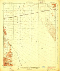
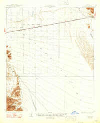
The Gila River defines the northern reaches of this arid landscape, where early 20th-century utility and transit infrastructure follows the path of the Southern Pacific railroad. Small railway stops and service points like Mohawk, Pembroke, and Colfred mark the corridor, which supported local industrial operations including the Gas and Water Company and Gila Valley Electric. The map reveals a transition from the river valley into the sharp relief of the Mohawk Mts and Copper Mountains, where the Arizona Consolidated Mining Co suggests the era's mineral exploration. Desert tracks lead away from the rail line, including the route To Cabeza Prieta Tanks and the path To Papago Well, illustrating the vital importance of water sources in this remote southwestern terrain.
Find a feature on this map
16 named features on this map. Tap any name to fly to it.
Don’t see what you’re looking for? This feature index may not catch every label — zoom into the map to look around manually.
Map Details
Editions of this 1928 Mohawk Map
3 editions found
Other maps of this area

1926 · Wellton
USGS Topo · 1:62,500

1926 · Mohawk
USGS Topo · 1:62,500

1927 · Kim
USGS Topo · 1:62,500

1928 · Norton
USGS Topo · 1:62,500

1929 · Wellton
USGS Topo · 1:62,500

1929 · Norton
USGS Topo · 1:62,500

1930 · Stoval
USGS Topo · 1:62,500

1931 · Kim
USGS Topo · 1:62,500

1942 · Yuma
USGS Topo · 1:250,000

1950 · Stoval
USGS Topo · 1:62,500