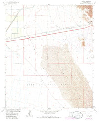
1965 Map of Mohawk
USGS Topo · Published 1986About this map
Mohawk Valley is dominated by the vast desert landscape of southwestern Arizona, where the Mohawk Mts rise sharply above the basin floor. The settlement of Mohawk sits along the Southern Pacific railroad line, a critical transport corridor that also features a Landing Strip and various infrastructure like a Pumping Station and Flume. This 1965 survey, updated with 1982 photorevisions, shows the intersection of transit and military utility, as much of the southern terrain is occupied by the Luke Air Force Range. To the northeast, Mohawk Pass provides a natural notch through the mountains, flanked by old Ruins, Prospects, and Gravel Pits. The arid character of the land is further defined by extensive Sand Dunes and the drainage patterns of Owl Wash and Mohawk Wash.
Find a feature on this map
21 named features on this map. Tap any name to fly to it.
Don’t see what you’re looking for? This feature index may not catch every label — zoom into the map to look around manually.
Map Details
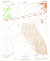
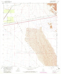
Editions of this 1965 Mohawk Map
3 editions found
Other maps of this area

1926 · Mohawk
USGS Topo · 1:62,500

1927 · Kim
USGS Topo · 1:62,500

1928 · Mohawk
USGS Topo · 1:62,500

1928 · Norton
USGS Topo · 1:62,500

1929 · Norton
USGS Topo · 1:62,500

1930 · Stoval
USGS Topo · 1:62,500

1931 · Kim
USGS Topo · 1:62,500

1950 · Stoval
USGS Topo · 1:62,500

1953 · Ajo
USGS Topo · 1:250,000

1955 · Growler
USGS Topo · 1:24,000