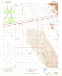
1965 Map of Mohawk
USGS Topo · Published 1966About this map
The Southern Pacific railroad corridor dominates this mid-century landscape, cutting through the arid expanse of the Mohawk Valley. At the foot of the Mohawk Mts, the small settlement of Mohawk sits near the strategically important Mohawk Pass, a natural gateway for transcontinental travel. The map captures a moment of infrastructure development, showing the interstate highway as Under Construction parallel to the rail line.
Find a feature on this map
24 named features on this map. Tap any name to fly to it.
Don’t see what you’re looking for? This feature index may not catch every label — zoom into the map to look around manually.
Map Details
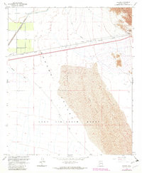
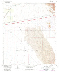
Editions of this 1965 Mohawk Map
3 editions found
Other maps of this area

1926 · Mohawk
USGS Topo · 1:62,500

1927 · Kim
USGS Topo · 1:62,500

1928 · Mohawk
USGS Topo · 1:62,500

1928 · Norton
USGS Topo · 1:62,500

1929 · Norton
USGS Topo · 1:62,500

1930 · Stoval
USGS Topo · 1:62,500

1931 · Kim
USGS Topo · 1:62,500

1950 · Stoval
USGS Topo · 1:62,500

1953 · Ajo
USGS Topo · 1:250,000

1955 · Growler
USGS Topo · 1:24,000