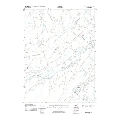
2010 Map of Mohonk Lake
USGS Topo · Published 2010About this map
Rondout Creek carves a central path through this landscape, anchoring a string of historic valley settlements including Accord, Alligerville, and High Falls. The waterway’s importance to the region’s development is evident in the cluster of burial grounds and agricultural landmarks nearby, such as the Benton-Bar Cemetery and the extensive Stone Ridge Orchard. To the southeast, the terrain rises sharply into the Shawangunk Mountains, where the elevation culminates at Eagle Cliff overlooking the waters of Mohonk Lake. This transition from the fertile valley floor to the prominent ridges defines the local geography.
Find a feature on this map
95 named features on this map. Tap any name to fly to it.
Don’t see what you’re looking for? This feature index may not catch every label — zoom into the map to look around manually.
Map Details
Editions of this 2010 Mohonk Lake Map
This is the sole edition of this map. No revisions or reprints were ever made.
Other maps of this area

1901 · Rosendale
USGS Topo · 1:62,500

1903 · Newburg
USGS Topo · 1:62,500

1903 · Rosendale
USGS Topo · 1:62,500

1903 · Slide Mountain
USGS Topo · 1:62,500

1904 · Ellenville
USGS Topo · 1:62,500

1905 · Slide Mountain
USGS Topo · 1:62,500

1906 · Ellenville
USGS Topo · 1:62,500
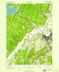
1942 · Kingston West
USGS Topo · 1:24,000
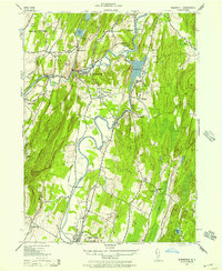
1942 · Rosendale
USGS Topo · 1:24,000

1942 · West Shokan
USGS Topo · 1:24,000