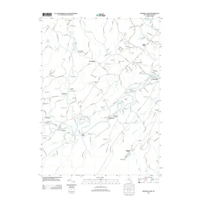
2013 Map of Mohonk Lake
USGS Topo · Published 2013About this map
Mohonk Lake and the dramatic topography of Eagle Cliff anchor the southeastern corner of this map, while the Rondout Cr and Peters Kill valleys define the lower landscape. The area is characterized by a high density of small farms and family-owned orchards, including Stone Ridge Orchard and Westwind Organic Orchard, alongside specialized agricultural sites like Stover's Christmas Tree Farm.
Find a feature on this map
173 named features on this map. Tap any name to fly to it.
Don’t see what you’re looking for? This feature index may not catch every label — zoom into the map to look around manually.
Map Details
Editions of this 2013 Mohonk Lake Map
This is the sole edition of this map. No revisions or reprints were ever made.
Other maps of this area

1901 · Rosendale
USGS Topo · 1:62,500

1903 · Newburg
USGS Topo · 1:62,500

1903 · Rosendale
USGS Topo · 1:62,500

1903 · Slide Mountain
USGS Topo · 1:62,500

1904 · Ellenville
USGS Topo · 1:62,500

1905 · Slide Mountain
USGS Topo · 1:62,500

1906 · Ellenville
USGS Topo · 1:62,500
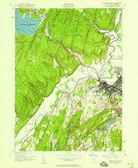
1942 · Kingston West
USGS Topo · 1:24,000
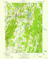
1942 · Rosendale
USGS Topo · 1:24,000

1942 · West Shokan
USGS Topo · 1:24,000