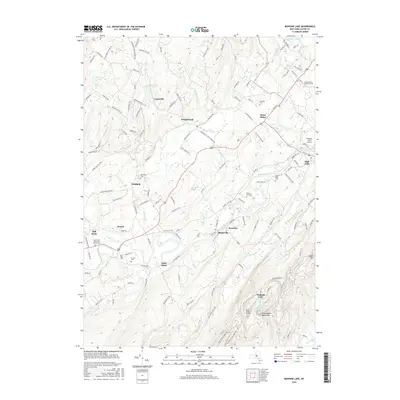
2016 Map of Mohonk Lake
USGS Topo · Published 2016About this map
The Shawangunk Mountains provide a dramatic backdrop for the historic hamlets and agricultural lands of central Ulster County. This 2016 survey traces the winding paths of Rondout Creek and the Peters Kill, showing how the landscape is segmented by these ancient waterways. Clusters of human history are visible in the numerous burial grounds like Benton-Bar Cem and Whitfield Cem, alongside prominent religious institutions such as the Rochester Reformed Church. The map details the modern footprint of the Ulster County Community College near Stone Ridge, contrasting with the more rural character of Kripplebush and Alligerville. From the geological interest of Pompey's Cave to the developed recreational areas near Mohonk Lake, the sheet captures a region defined by its conservation lands and persistent historic settlements.
Find a feature on this map
136 named features on this map. Tap any name to fly to it.
Don’t see what you’re looking for? This feature index may not catch every label — zoom into the map to look around manually.
Map Details
Editions of this 2016 Mohonk Lake Map
This is the sole edition of this map. No revisions or reprints were ever made.
Other maps of this area

1901 · Rosendale
USGS Topo · 1:62,500

1903 · Newburg
USGS Topo · 1:62,500

1903 · Rosendale
USGS Topo · 1:62,500

1903 · Slide Mountain
USGS Topo · 1:62,500

1904 · Ellenville
USGS Topo · 1:62,500

1905 · Slide Mountain
USGS Topo · 1:62,500

1906 · Ellenville
USGS Topo · 1:62,500
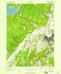
1942 · Kingston West
USGS Topo · 1:24,000
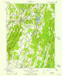
1942 · Rosendale
USGS Topo · 1:24,000

1942 · West Shokan
USGS Topo · 1:24,000