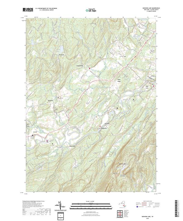
2023 Map of Mohonk Lake
USGS Topo · Published 2023About this map
Mohonk Lake and the eastern ridges of the Shawangunk Mountains anchor this landscape where the Catskill foothills meet the fertile valleys of Ulster County. The map documents a dense network of watercourses, where Rondout Creek and Esopus Creek have historically shaped the settlement patterns of villages like Accord, Alligerville, and High Falls. The course of the Catskill Aqueduct is clearly visible as it traverses the terrain, a critical piece of infrastructure cutting across the rural topography.
Find a feature on this map
137 named features on this map. Tap any name to fly to it.
Don’t see what you’re looking for? This feature index may not catch every label — zoom into the map to look around manually.
Map Details
Editions of this 2023 Mohonk Lake Map
This is the sole edition of this map. No revisions or reprints were ever made.
Other maps of this area
1901 · Rosendale
USGS Topo · 1:62,500
1903 · Newburg
USGS Topo · 1:62,500
1903 · Rosendale
USGS Topo · 1:62,500
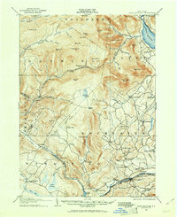
1903 · Slide Mountain
USGS Topo · 1:62,500
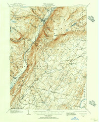
1904 · Ellenville
USGS Topo · 1:62,500
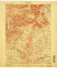
1905 · Slide Mountain
USGS Topo · 1:62,500
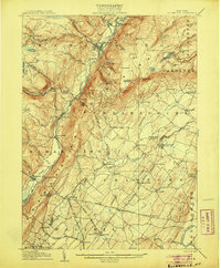
1906 · Ellenville
USGS Topo · 1:62,500
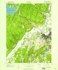
1942 · Kingston West
USGS Topo · 1:24,000
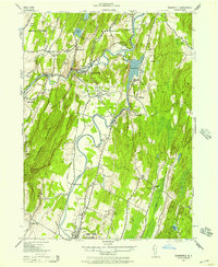
1942 · Rosendale
USGS Topo · 1:24,000
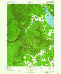
1942 · West Shokan
USGS Topo · 1:24,000